
What is recorded here
In rough hill pasture, on a NE-facing slope and just NE of the summit of Lackacroghan. A circular area (7m N-S; 6.7m E-W) is defined by the poorly preserved remains of an earthen bank (Wth 0.9m; H 0.15m) from which stones protrude (H 0.1m) at irregular intervals. The N quadrant of the interior is raised (H 0.35m) by a partially grass-covered stone revetment. Rushes obscure most of the interior.
The above description is derived from 'The Archaeological Inventory of County Cork. Volume 5' (Dublin: Stationery Office, 2009).
Date of upload: 22 December 2009
A local fairy fort (ringfort/rath); wider significance not recorded.
The monument record does not grant public access. Check the route and ask the landowner before entering private land.
- What survives
- Recorded monument
Places near here
 LackacroghanMountain / peak · 58 yd
 Holy well in CloghfuneHoly well · 330 yd
 Hut site in Loughane MoreHut site · 1152 yd
 Garnish StrandBeach / strand · 1.2 mi
 TranaduileasgBeach / strand · 1.3 mi
 Long IslandIslet · 1.3 mi
 Serough IslandIslet · 1.3 mi
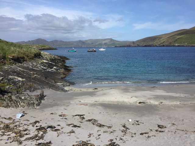 White StrandBeach / strand · 1.4 mi
 Garinish IslandIslet · 1.4 mi
 Signal Station FlagstaffRuins · 2.0 mi
 Penitential station in BallydoneganPenitential station · 2.1 mi
 Fort (in Ruins)Castle, unclassified · 2.5 mi
Other information
Photo: Credit not shown in the picture search · Rights wording not checked; contact us if this picture should be removed