What is recorded here
In reclaimed pasture. Cropmark of circular-shaped area (approx. diam. 30m) visible on Digital Globe orthophoto taken 2011-13.
Compiled by: Caimin O’Brien
Date of upload: 2 June 2020
The monument record does not grant public access. Check the route and ask the landowner before entering private land.
- What survives
- Recorded monument
Places near here
 Bruree Castle Lower (in ruins)Castle, Anglo-Norman masonry castle · 933 yd
 BarrowBarrow, ring-barrow · 997 yd
 Enclosure in Dromacummer WestEnclosure · 1267 yd
 Eagle Mount MoteCastle, motte · 1460 yd
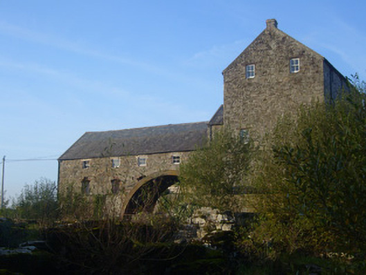 The Old Millmill (water) · 1525 yd
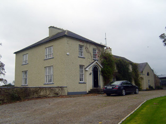 Glebe Houserectory/glebe/vicarage/curate's house · 1577 yd
 Saint Derivla's WellSpring · 4.7 mi
 King John's CastleCastle · 4.9 mi
 Lady's WellSpring · 5.3 mi
 KnockfeerinaMountain / peak · 6.1 mi
 Famine stoneMemorial · 6.6 mi
 Flat cemetery in Kiltenan SouthFlat cemetery · 9.1 mi