What is recorded here
Enclosure in Lissenhall Great is a hidden fort site behind Lissenhall House, marked on the 1837 OS map but no longer visible at ground level. It may have been a defensive ring, a boundary marker or a forgotten settlement, now erased by soil, water or time. The loss is not emptiness; it is a reminder that landscapes forget even when maps remember.
Located north of the eastern limit of the estuary to the rear of Lissenhall House. Named 'site of fort' on the 1837 OS 6-inch map. Not visible at ground level.
Compiled by: Geraldine Stout
Updated by: Christine Baker
Date of upload: 16 January 2015
The monument record does not grant public access. Check the route and ask the landowner before entering private land.
- What survives
- Recorded monument
Places near here
 Enclosure in Lissenhall GreatEnclosure · 195 yd
 Meudon HouseRuins · 318 yd
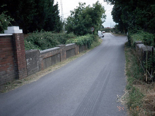 Lissenhall Bridgesbridge · 390 yd
 Field system in Lissenhall GreatField system · 472 yd
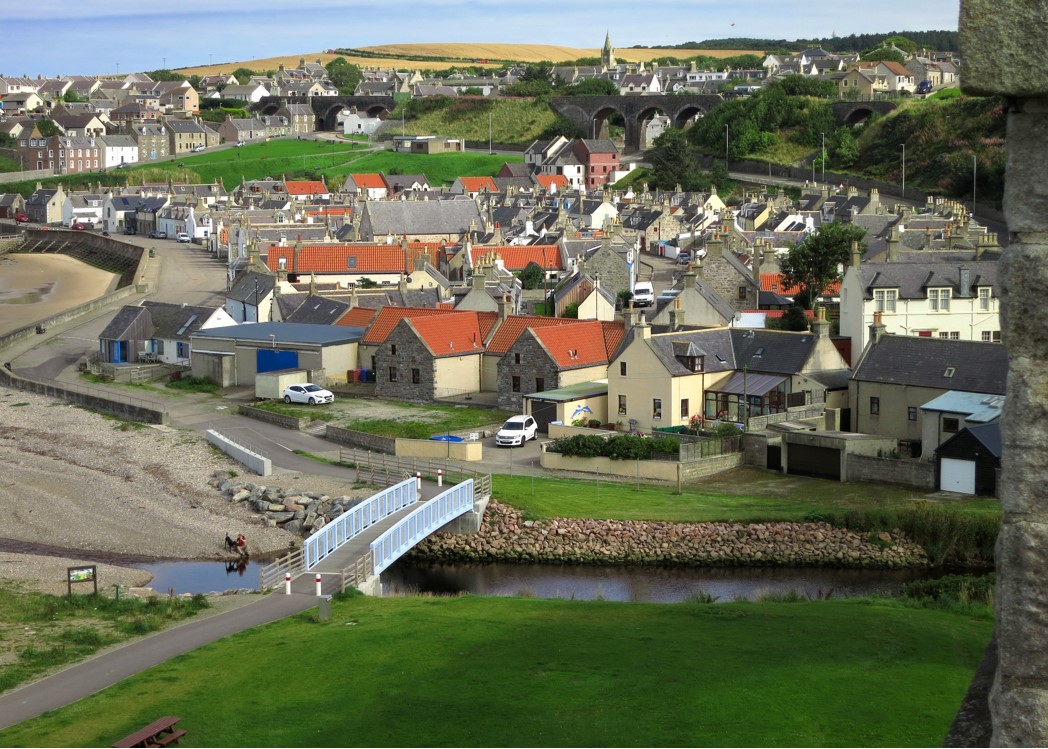 Seatown CastleCastle, tower house · 1070 yd
 Graveyard (Disused)Church · 1486 yd
 Swords CastleCastle · 1608 yd
 Fingal Tourism OfficeVisitor information · 1614 yd
 Swords Round TowerHeritage attraction · 1.1 mi
 St Colmcilles WellVisitor information · 1.2 mi
 Church (in ruins), Graveyard (disused)Church · 1.6 mi
 St Cronans WellSpring · 1.7 mi