What is recorded here
Enclosure in Lissaniska West is a roughly oval woodland hollow in County Limerick, ringed by an earthen bank and hiding a holy well near its centre. The bank rises eighty centimetres inside, dips to sixty-five centimetres outside, and disappears altogether along one western edge as though the circle never intended to close. A drain runs at its base everywhere except where the well breathes, while a new two-metre gap at the northeast invites entry past the old, broken line. Trees still choke the uneven floor, and the place keeps its shape less like a boundary than like a remembered pause.
In undulating woodland copse. Roughly oval area (c. 45m N-S; c. 35m E-W) enclosed by an earthen bank (int. H 0.8m; ext. H 0.65m) NNW->E and WNW->NW; bank incorporated into field boundary E->WNW but absent WNW->NNW. Drain cut along inner base of bank on all sides except at NW. Bank broken at NE by recently constructed entrance (Wth 2m). Interior surface is very uneven and covered by trees. A holy well (036-09202---) is located to NW of centre within enclosure.
Compiled by: Denis Power
Date of upload: 26 August 2011
The monument record does not grant public access. Check the route and ask the landowner before entering private land.
- What survives
- Recorded monument
Places near here
 BarrowBarrow, ring-barrow · 730 yd
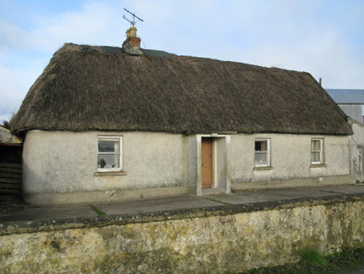 farm housefarm house · 941 yd
 Lissanaska HachuredFairy fort / earthen ringfort · 1250 yd
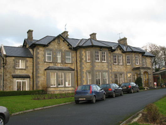 Rathfredagh Cheshire Homecountry house · 1.0 mi
 Castle MahonCastle · 1.6 mi
 Ballynoe Castle (in ruins)Castle, tower house · 2.1 mi
 European ashEuropean ash · 3.0 mi
 LaghtpatrickSpring · 3.1 mi
 Sunday WellSpring · 3.3 mi
 Limerick GreenwayWalking route · 6.0 mi
 Ballagh MountainMountain / peak · 6.8 mi
 Sugar HillMountain / peak · 7.1 mi