What is recorded here
On a hillock in grassland. Marked on the 1838 edition of the OS 6-inch map as a subcircular enclosure (c. 53m NW-SE; c. 50m NE-SW) which was cut by a N-S running field boundary from roughly NE to SE. On inspection in May 1984 no visible surface trace survives. However, its outline is visible on the OSi Ortho_ITM aerial imagery (Google 2019).
Compiled by: Galway Archaeological Survey, UCG
Date of upload: 29 July 2019
The monument record does not grant public access. Check the route and ask the landowner before entering private land.
- What survives
- Recorded monument
Places near here
 IndicatedEnclosure, large enclosure · 1575 yd
 shrine/oratory/grottoshrine/oratory/grotto · 1733 yd
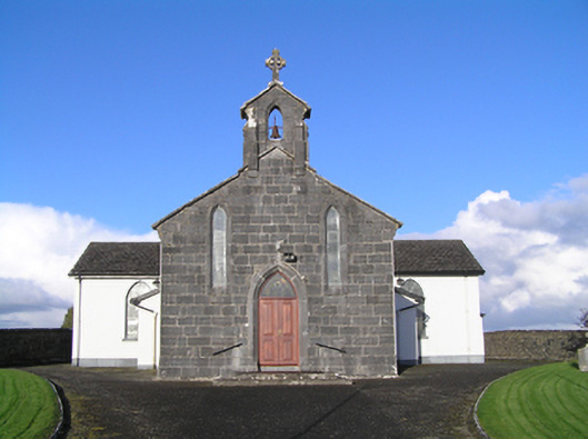 Catholic Church of Christ the Kingchurch/chapel · 1.0 mi
 St. Bridgets WellHoly well · 1.5 mi
 Longford Castle (in ruins)Castle, unclassified · 3.5 mi
 MoatCastle, motte and bailey · 4.0 mi
 Church HillMountain / peak · 4.5 mi
 European YewEuropean Yew · 4.6 mi
 Silver FirSilver Fir · 4.7 mi
 Long IslandIsland · 5.4 mi
 Ballymacegan IslandIsland · 5.4 mi
 Redmond HillMountain / peak · 5.6 mi