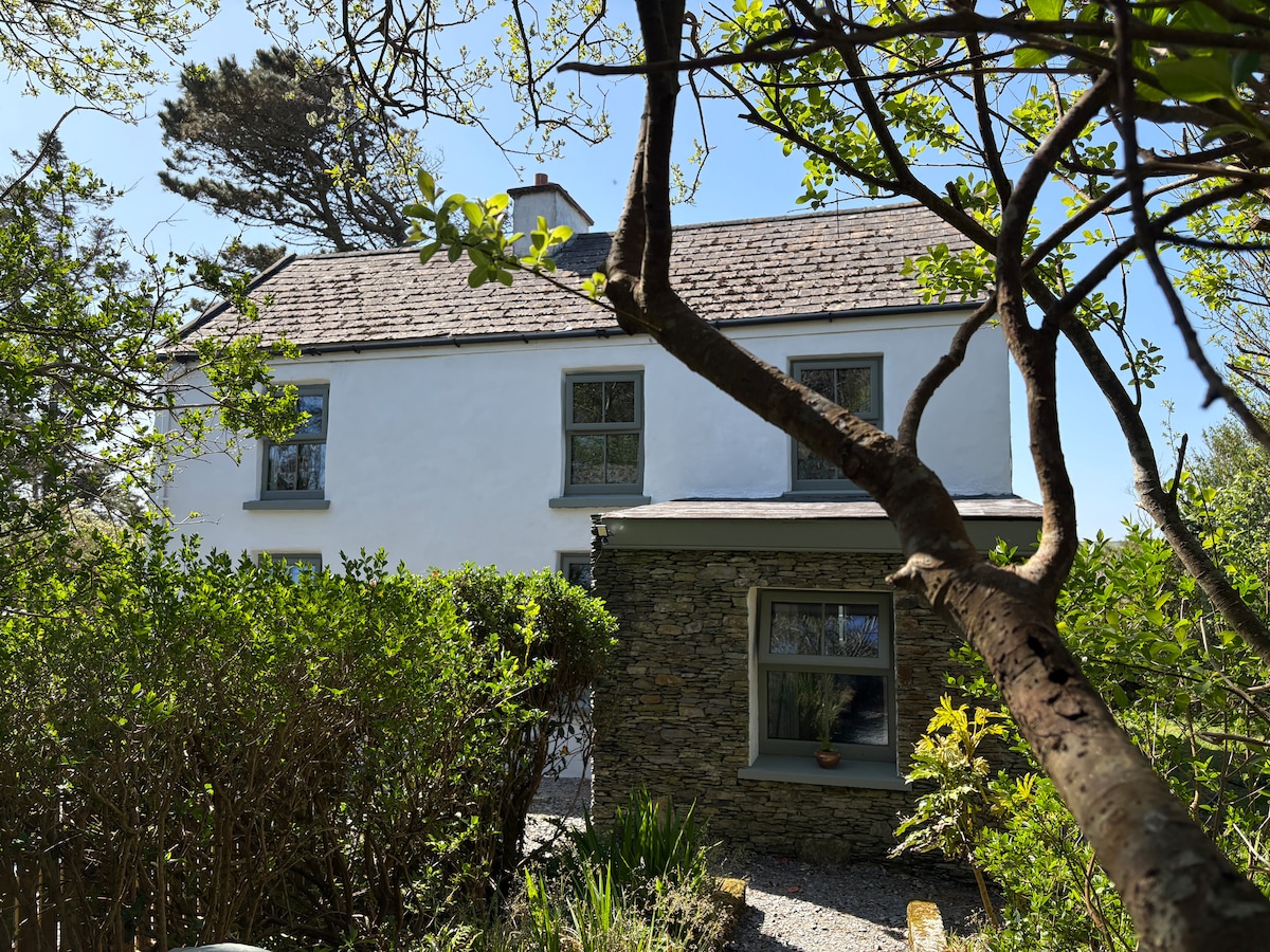
What is recorded here
In pasture, on a relatively level area of land near the peak of a ridge. Depicted on the 1st ed. (1841) OS 6-inch map as a small oval feature (c. 18m NE-SW; c.14m NW-SE) immediately SE of a public road. It is not depicted on later OS map editions.
Compiled by: Matt Kelleher
Date of upload: 28 January 2014
The monument record does not grant public access. Check the route and ask the landowner before entering private land.
- What survives
- Recorded monument
Places near here
 Enclosure in Curravogh SouthEnclosure · 1635 yd
 Enclosure in Lismore,lissatanvallyEnclosure · 1663 yd
 Church (in ruins)Chapel · 1.1 mi
 TempleoneChurch · 1.5 mi
 Monterey PineMonterey Pine · 1.8 mi
 Sunday's WellSpring · 2.0 mi
 CruslineMountain / peak · 2.5 mi
 Tobar na MoltSpring · 2.5 mi
 Crimea Cannon and War MemorialMonument · 3.2 mi
 Kilflynn Nature ReserveNature reserve · 3.2 mi
 Kerry PrisonersMemorial · 3.4 mi
 Kerry County MuseumMuseum · 3.4 mi
Other information
Photo: Credit not shown in the picture search · Rights wording not checked; contact us if this picture should be removed