What is recorded here
On top of a small hillock on a NW-SE ridge between two valleys, in reclaimed grassland. There are very good views in all directions. A small roughly circular enclosure (diam. c. 20m) is indicated on the 1st (1839) ed. OS 6-inch map but not on the 1900 revision, suggesting it was levelled between 1839 and 1900. The enclosure is not visible at ground level.
Compiled by: Jean Farrelly
Date of upload: 23 June 2020
The monument record does not grant public access. Check the route and ask the landowner before entering private land.
- What survives
- Recorded monument
Places near here
 IndicatedEnclosure · 1013 yd
 Enclosure in TrenchardstownEnclosure · 1365 yd
 Church in Killahy (crannagh By.)Church · 1578 yd
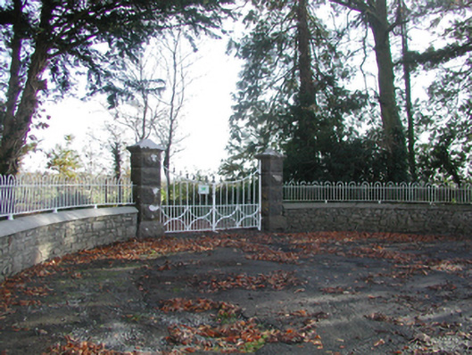 Curragh Housegates/railings/walls · 1651 yd
 Killahy Castle in ruinsCastle, unclassified · 1.1 mi
 CastleCastle, unclassified · 1.3 mi
 Kildrinagh WoodForest · 1.8 mi
 Killeen Fox CovertForest · 2.8 mi
 Warhouse HillMountain / peak · 4.3 mi
 Kilcooly AbbeyHeritage attraction · 4.4 mi
 Freshford LoopWalking route · 4.5 mi
 Bregaun HillMountain / peak · 5.0 mi