What is recorded here
On level ground in the Glen of Aherlow, in a reclaimined pasture field. A drainage feature running NW-SE along the W quadrant of the enclosure is barely visible as a linear depression. An enclosure identified on an aerial photograph taken in 1974 (GSI R.507/8). It is not visible at ground level.
Compiled by: Jean Farrelly
Date of upload: 26 August 2011
The monument record does not grant public access. Check the route and ask the landowner before entering private land.
- What survives
- Recorded monument
Places near here
 College Bridgebridge · 375 yd
 IndicatedEnclosure · 1036 yd
 Enclosure in Pollagh (templeneiry Par.)Enclosure · 1067 yd
 Dromomarka Bridgebridge · 1514 yd
 Bansha ForestForest · 1.1 mi
 Cordangan Castle ruinsCastle · 1.6 mi
 The RockViewpoint · 1.7 mi
 Christ the KingViewpoint · 1.9 mi
 Glen of AherlowViewpoint · 2.0 mi
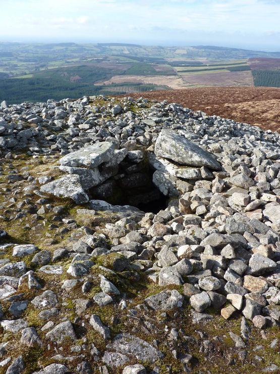 Site of Seefin CastleCastle, unclassified · 2.0 mi
 Glengarra WoodWood · 2.4 mi
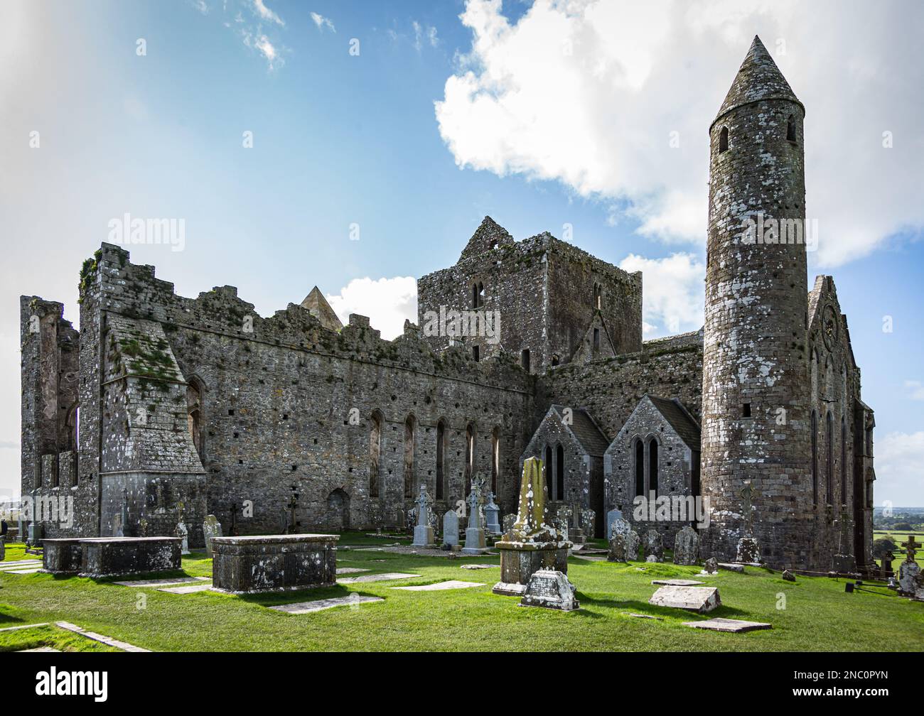 KnockastakeenMountain / peak · 2.6 mi