What is recorded here
In pasture, on a very gentle N-facing slope. Sub-circular area (dims c. 32m N-S; c. 26m E-W) defined by slight trace of levelled bank (Wth c. 3.5m; ext H c. 0.3m), no definition of bank on interior. Interior slopes downwards to N with prevalent slope. Field boundary abuts monument to S. Enclosure (TS067-076---) located c. 650m NE.
Compiled by: Jean Farrelly
Date of upload: 26 August 2011
The monument record does not grant public access. Check the route and ask the landowner before entering private land.
- What survives
- Recorded monument
Places near here
 College Bridgebridge · 708 yd
 IndicatedEnclosure · 761 yd
 Enclosure in Pollagh (templeneiry Par.)Enclosure · 1237 yd
 Bansha ForestForest · 1588 yd
 Dromomarka Bridgebridge · 1.0 mi
 Cordangan Castle ruinsCastle · 1.5 mi
 The RockViewpoint · 1.6 mi
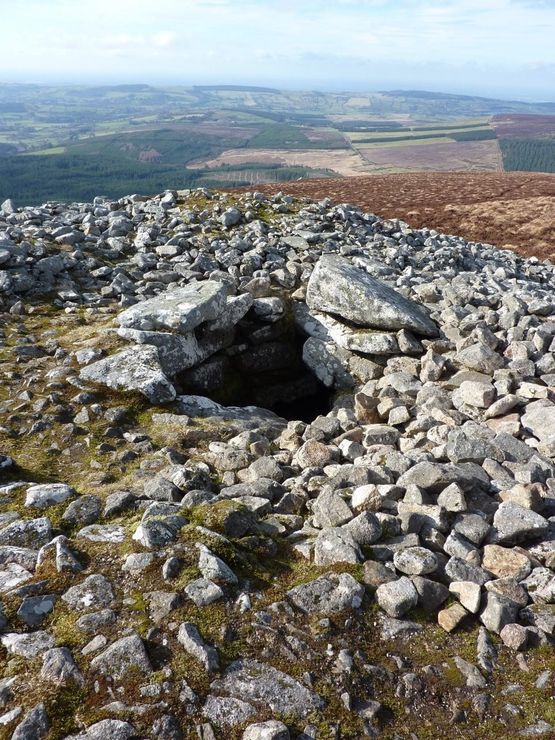 Site of Seefin CastleCastle, unclassified · 1.8 mi
 Christ the KingViewpoint · 2.0 mi
 Glen of AherlowViewpoint · 2.0 mi
 Glengarra WoodWood · 2.6 mi
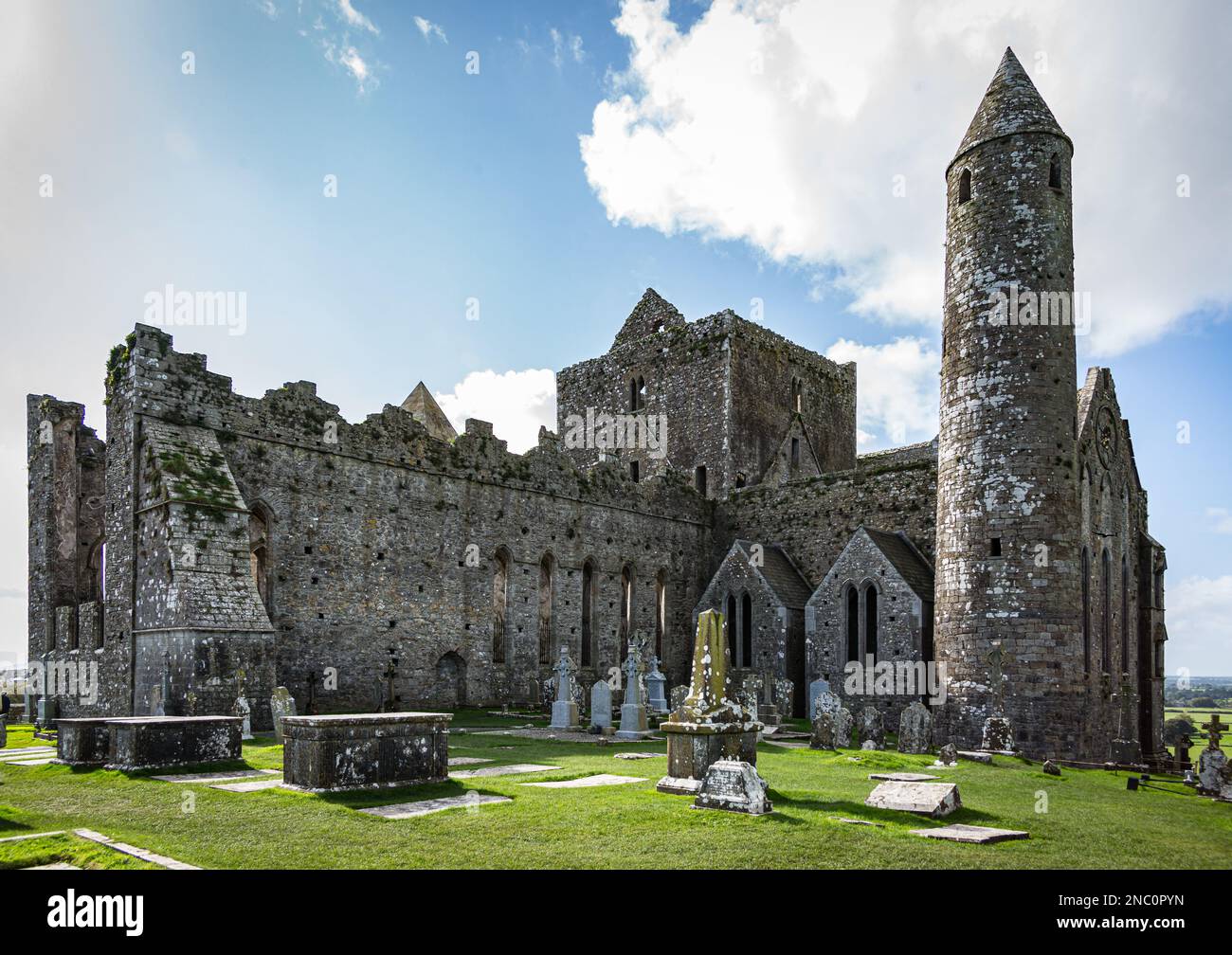 KnockastakeenMountain / peak · 2.8 mi