What is recorded here
On flat farmland, c. 100m SW of an enclosure (GA085-076----). Marked on 1st ed. of OS 6-inch map as a circular enclosure (D c. 20m). What is visible is a faint circular hollow (D 35m), c. 0.2m in depth, which is cut in two by a field boundary running NNE-SSW. The edge of the hollow, defined by a slight scarp, is visible from NNE to SSW but no definite trace of it survives to W of the field boundary where extensive ground disturbance has taken place.
The above description is derived from the published 'Archaeological Inventory of County Galway Vol. II - North Galway'. Compiled by Olive Alcock, Kathy de hÓra and Paul Gosling (Dublin: Stationery Office, 1999).
Date of upload: 05 August 2010
The monument record does not grant public access. Check the route and ask the landowner before entering private land.
- What survives
- Recorded monument
Places near here
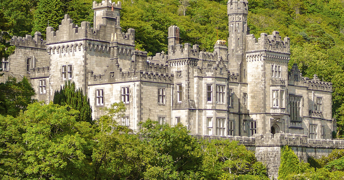 Tober ImorHoly well · 1275 yd
 R.C. ChapelChurch · 1276 yd
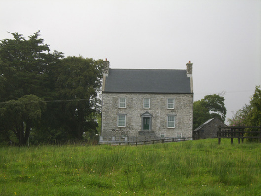 Killimor Castlecountry house · 1300 yd
 Enclosure in Gortnalone SouthEnclosure · 1.9 mi
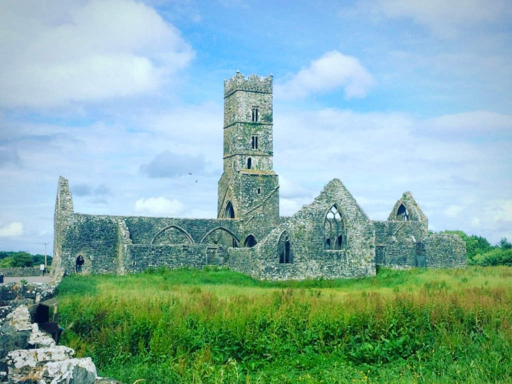 Cloonbrusk Castle (in ruins)Castle, unclassified · 2.7 mi
 MoteCastle, motte and bailey · 3.7 mi
 Turoe StoneHeritage attraction · 4.2 mi
 Moyard WoodWood · 4.9 mi
 Woodlawn WoodsForest · 5.1 mi
 Barrack IslandIslet · 7.6 mi
 Middle IslandIslet · 7.7 mi
 Menlough IRAMemorial · 8.2 mi