
What is recorded here
Aerial photographs (GB89.O.23 and 24) shows cropmark of a large curvilinear enclosure defined by a wide fosse with a complex multi-ditched entrance facing east and a simple entrance facing south. A third possible entrance leads into a rectilinear annexe, defined by two fosses, on western side. A circular pit adjoins the fosse within the curvilinear enclosure. Curvilinear fosses extend from both enclosures indicating an associated field system, but complicated by irregular cropmarks of geomorphological origin indicating patterned ground resulting from frost action. Part of a complex cropmark landscape comprising three contrasting enclosures. Curved modern field boundary respects eastern eastern boundary of enclosure. The three contrasting enclosures are not necessarily contemporaneous (Barrett 1989).
Bibliography
Barrett , G.F. (2002) 'Flights of discovery: archaeological air survey in Ireland, 1989-2000' in the Journal of Irish Archaeology, XI, 2002., pp. 1-30.
Barrett, G.F. (1999) 'Relevé aérien d'archéologie en Irlande, in Archeologie Aerienne: Actes du colloque du festival international d'archéologie d'Amiens. Revue archaeologie de Picardie special 17/1999. APPAH Ministère de la culture, Amiens et de l'Université de Picardie, pp. 245-52. ISSN 0752-5656 .
Barrett, G.F. (1995) 'Recovering the hidden archaeology of Ireland: the impact of aerial survey in the River Barrow valley, 1989-91” in O. Braasch, and G. Wetzel, G. (eds), Aerial Archaeology in eastern and central Europe, 45-59, Proceedings of the Kleinmachnow conference, Brandenburg Museum, Potsdam, pp.45-59. ISBN 3-910011-08-X.
A large early-medieval fairy fort (ringfort/rath) in Linkardstown, likely dating to the 7th–10th centuries, characterized by a wide fosse and multi-ditched entrances. Local folklore, though sparse, associates such sites with fairy activity and ancient druidic gatherings.
The monument record does not grant public access. Check the route and ask the landowner before entering private land.
- What survives
- Recorded monument
Places near here
 Enclosure in LinkardstownEnclosure · 332 yd
 Font in LinkardstownFont · 420 yd
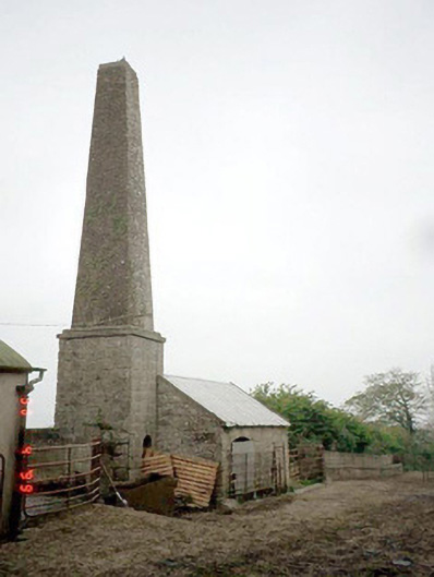 Kyleballyhueoutbuilding · 1.0 mi
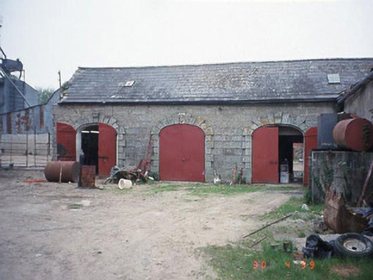 Castletown Castlestables · 1.0 mi
 Pedunculate OakPedunculate Oak · 1.0 mi
 Graiguealug Castle in ruinsCastle, unclassified · 1.3 mi
 Graveyard in ClonmelshGraveyard · 1.6 mi
 Graiguenaspiddoge Castle in ruinsCastle, tower house · 1.8 mi
 Church (in ruins), GraveyardChurch · 2.2 mi
 Common LimeCommon Lime · 3.2 mi
 Brownshill Portal TombVisitor information · 4.2 mi
 Carlow County MuseumMuseum · 4.3 mi
Other information
Photo: Credit not shown in the picture search · Rights wording not checked; contact us if this picture should be removed