
What is recorded here
On a slight W-facing slope in pasture. Hachured on the OS 1840 6-inch map as a large D-shaped enclosure (c. 38m N-S) with a straight S side (L 50m). The townland boundary juts out to S to respect the straight S side. Listed as ‘Enclosure’ in the SMR (1992) and the RMP (1996). On inspection in 1999 there was no visible trace at ground level.
Compiled by: Mary Tunney
Date of upload: 1 December 2025
This remains an important historical record, but the official description says the monument is no longer visible or has been destroyed. The monument record does not grant public access. Check the route and ask the landowner before entering private land.
- What survives
- No visible remains or recorded as destroyed
Places near here
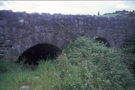 Ballymacquiggan Bridgebridge · 1284 yd
 Templemaley Church (in ruins)Church · 1431 yd
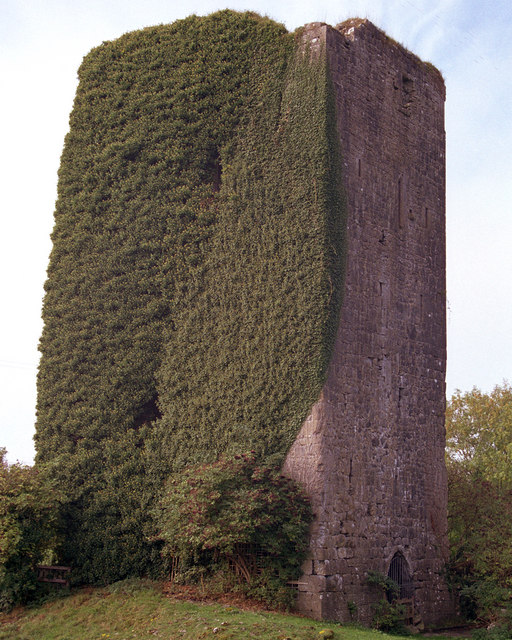 Ballygriffy CastleCastle · 1472 yd
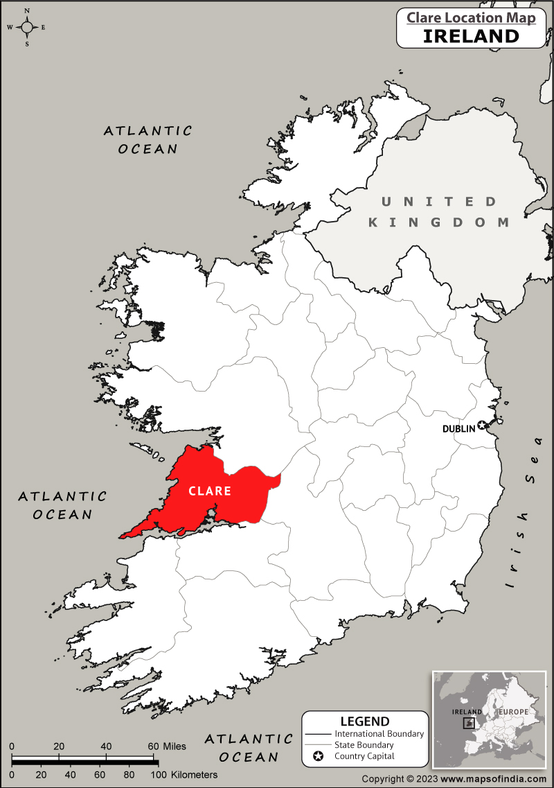 IndicatedFairy fort / stone ringfort · 1660 yd
 Ardcarney WoodWood · 1683 yd
 Cloigtheach (Round Tower)Round tower · 1718 yd
 Ballygriffy WoodWood · 1.7 mi
 Magowna CastleCastle · 2.0 mi
 Ennis AbbeyMuseum · 2.6 mi
 Clare MuseumMuseum · 2.8 mi
 Poul na gollorCave · 3.7 mi
 Battle of TullyodeaBattlefield · 3.7 mi
Other information
Photo: Credit not shown in the picture search · Rights wording not checked; contact us if this picture should be removed