What is recorded here
Located at the S end of a broad N-S ridge. A bivallate circular area (int. diam. c. 40m; max. ext. diam. c. 55m) is visible as a cropmark on aerial photographs (MM (61) 0-1). It is circumscribed by a road bank at W.
The above description is derived from the published 'Archaeological Inventory of County Waterford' (Dublin: Stationery Office, 1999). In certain instances the entries have been revised and updated in the light of recent research.
Compiled by: Michael Moore
Date of upload/revision: 10 June 2011
The monument record does not grant public access. Check the route and ask the landowner before entering private land.
- What survives
- Recorded monument
Places near here
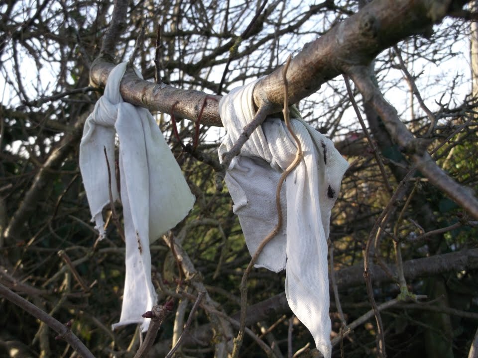 Fairy bushRitual site, holy tree/bush · 984 yd
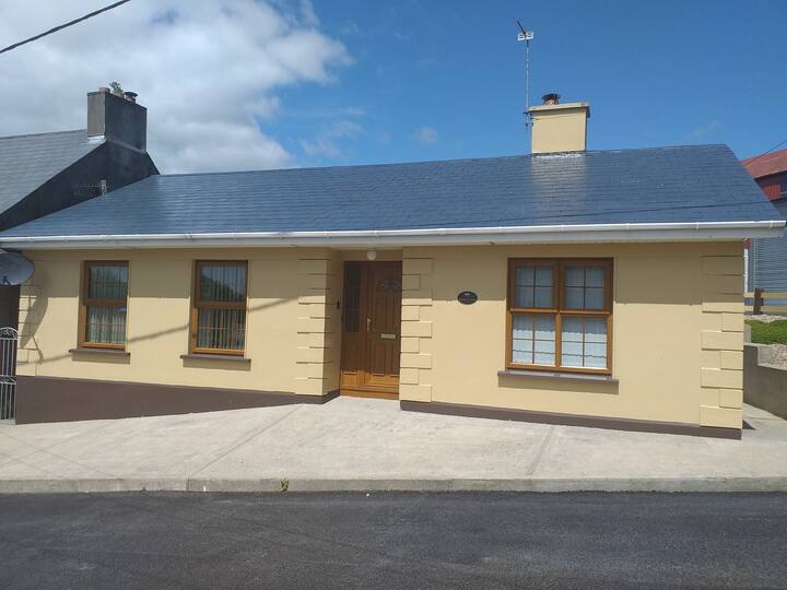 Enclosure in KilmacombEnclosure · 1134 yd
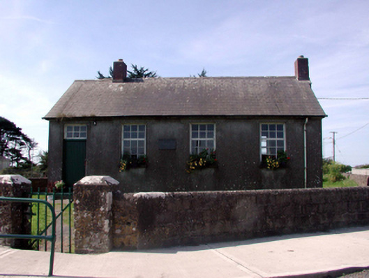 Killea National SchoolOfficially recorded historic building · 1249 yd
 Fairy Bush LoopWalking route · 1298 yd
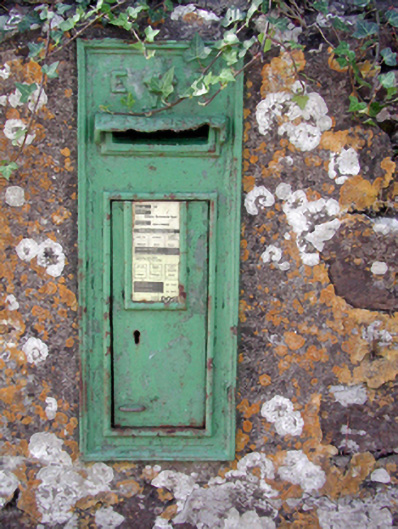 Historic buildingOfficially recorded historic building · 1311 yd
 Fairy Bush Forenaught LoopWalking route · 1.2 mi
 Councillors StrandBeach / strand · 1.6 mi
 Castle in ruinsCastle, Anglo-Norman masonry castle · 1.6 mi
 Ladies CoveBeach / strand · 1.6 mi
 Lost at Sea Memorial WallMemorial · 2.0 mi
 Knockavelish HeadHeadland · 2.1 mi
 South East Coastal DriveVisitor information · 2.5 mi