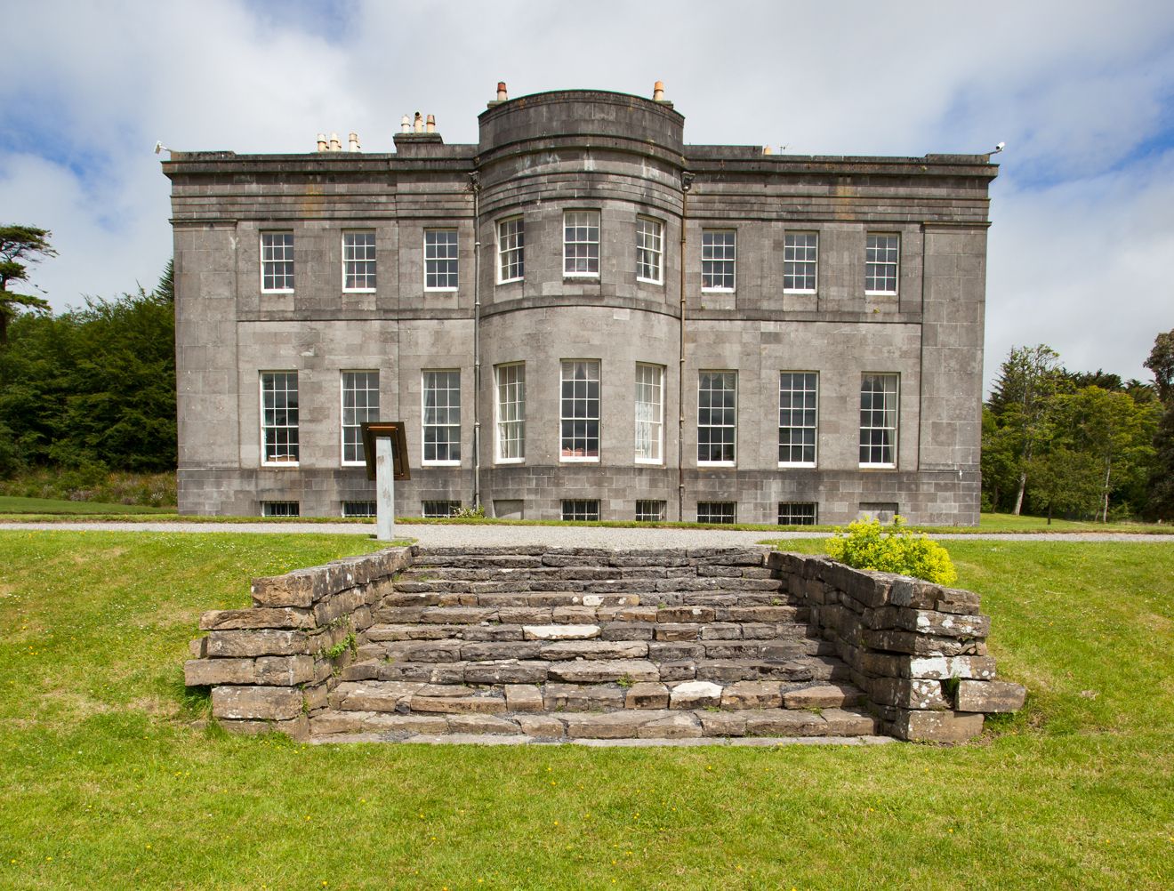
What is recorded here
In pasture, located on a terrace, on the lower NE-facing slopes of a limestone hill named Red Hill on the 1913 OS 6-inch map. This enclosure is not shown on the 1837 OS 6-inch map; it is shown on the 1913 edition as a penannular hachured area, open to SE, with a cashel (SL019-017001-) immediately to E. Sub-rectangular or polygonal area (28m NNW–SSE; c. 15m ENE–WSW) defined at SE–NE by a low, grass-covered, stony bank (Wth 1.8-2m), possibly a ruined wall. On the E side, the enclosure is defined by a rising slope which incorporates the ruined wall of the cashel (SL019-017001-). The S half of the interior is flat, and at a higher level than the N half which slopes down to N. There is an entrance gap or break (Wth 1.8m) at W. A relict field wall, visible as a grass-covered stony rise (Wth c. 1.6m), extends to NW from the NW corner of the enclosure. The date and function of this enclosure is unclear but it appears to post-date the cashel.
Compiled by: Jane O'Shaughnessy
Date of upload: 21 November 2014
The monument record does not grant public access. Check the route and ask the landowner before entering private land.
- What survives
- Recorded monument
Places near here
 Enclosure in LeekfieldEnclosure · 280 yd
 Enclosure in Skreen MoreEnclosure · 694 yd
 Saint Adamnan's Wellmonument · 767 yd
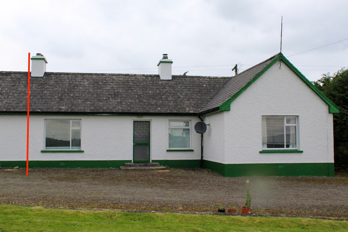 IndicatedChurch · 806 yd
 CastleCastle, Anglo-Norman masonry castle · 1.4 mi
 Dunmoran StrandBeach / strand · 1.9 mi
 Valley WoodForest · 2.5 mi
 Aughris BeachBeach / strand · 2.5 mi
 Bawn in Longford DemesneBawn · 2.6 mi
 Pigeonpark WoodForest · 2.8 mi
 Giant's GraveArchaeological place · 2.8 mi
 Knockalongy North-East TopMountain / peak · 2.9 mi
Other information
Photo: Credit not shown in the picture search · Rights wording not checked; contact us if this picture should be removed