What is recorded here
In pasture, on a NW-facing slope overlooking a valley to the N. A roughly circular area (9.6m N-S; 8m E-W), raised 0.6m in height above the outer ground level, is defined by the remains of a bank of earth and stone (Wth 1m; int. H 0.1-0.3m). The entrance is at W and is defined by two upright slabs, 1.1m apart. A slab and some stones protrude from the bank externally along the S arc. Ferns and briars cover the entire enclosure.
The above description is derived from 'The Archaeological Inventory of County Cork. Volume 5' (Dublin: Stationery Office, 2009).
Date of upload: 22 December 2009
The monument record does not grant public access. Check the route and ask the landowner before entering private land.
- What survives
- Recorded monument
Places near here
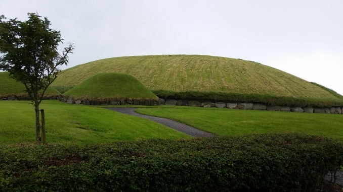 Hut site in Munnig NorthHut site · 523 yd
 Kiel (Disused)Burial ground · 876 yd
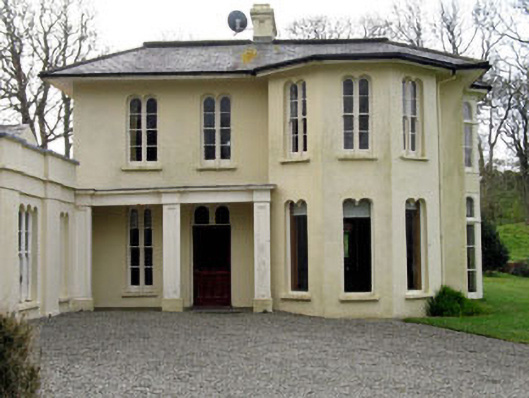 Lough Ine Househunting/fishing lodge · 1002 yd
 Wild Atlantic Way:Lough HyneVisitor information · 1099 yd
 ClochánCastle · 1433 yd
 quay/wharfquay/wharf · 1453 yd
 KnockomaghMountain / peak · 1519 yd
 Trá na BóBeach / strand · 1.1 mi
 Walk 5 - Lough Hyne (7km)Walking route · 1.2 mi
 TralispeanBeach / strand · 1.3 mi
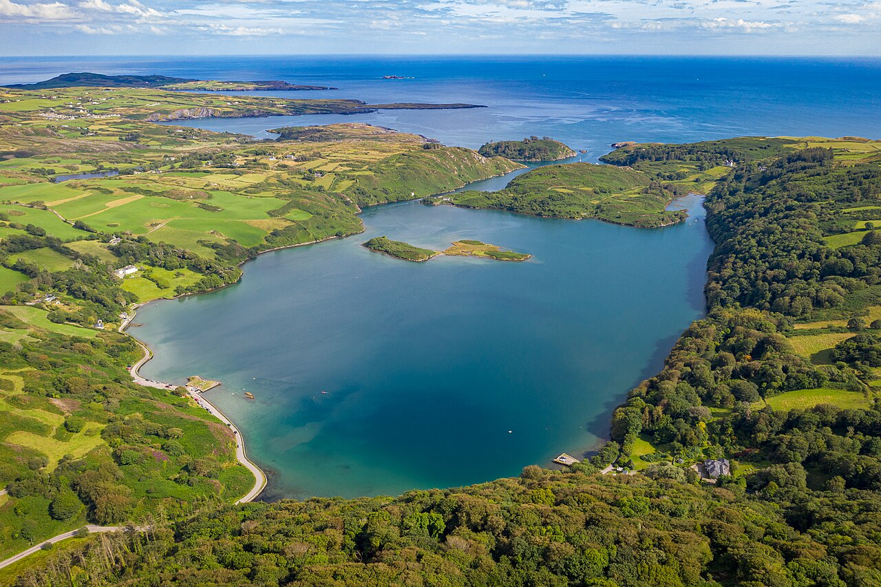 Lough HyneVisitor information · 1.4 mi
 Bullock IslandIslet · 1.4 mi