What is recorded here
On a N-facing slope of a hillock in pastureland. Marked on the OS 6-inch maps as a circular enclosure (diam. c. 28m). No visible surface trace survives.
Compiled by: Galway Archaeological Survey, UCG
Date of upload: 10 April 2019
The monument record does not grant public access. Check the route and ask the landowner before entering private land.
- What survives
- Recorded monument
Places near here
 IndictedEnclosure · 919 yd
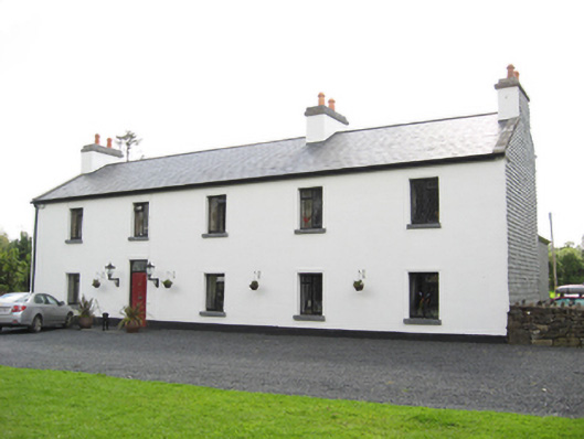 Cartron HouseRIC barracks · 1262 yd
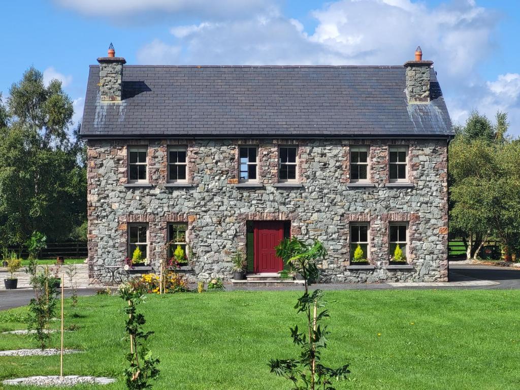 Country house in Carrowroe (marblehill Ed)Country house · 1336 yd
 CaveMan-made underground passage · 1511 yd
 Site of CastleCastle, unclassified · 3.7 mi
 Coolfin Castle (in ruins)Castle, tower house · 4.0 mi
 Oak WoodForest · 5.0 mi
 Bog WoodForest · 5.1 mi
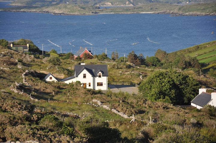 KnocknamonaMountain / peak · 5.7 mi
 TullymoreMountain / peak · 5.9 mi
 Friar's IslandIslet · 7.5 mi
 Abbey IslandIslet · 7.5 mi