What is recorded here
Knockogonnell holds a faded rectangular trench on a south-facing slope, surrounded by flat Galway pasture and several ringforts. The earthwork has lost most of its shape, but the depression still marks a boundary drawn before modern fields. People may have lived inside that shallow box, watched the valley or kept animals from the open land. Time has softened the edges, yet the trench remains visible enough to imagine the hands that cut it.
On a slight S-facing slope in an otherwise flat area of pastureland. Poorly preserved subrectangular enclosure (E-W 48m, N-S 38m) defined by a degraded scarp and external fosse. A field boundary runs just outside the line of the fosse from NW to NE. A raised area (L 20m), running NNW-SSW, occupies NW section of the interior. A number of ringforts lie to SW (GA007-093----) and N (Nos. (GA007-088----, GA007-089----, GA007-090----)).
The above description is derived from the published 'Archaeological Inventory of County Galway Vol. II - North Galway'. Compiled by Olive Alcock, Kathy de hÓra and Paul Gosling (Dublin: Stationery Office, 1999).
Date of upload: 05 August 2010
The monument record does not grant public access. Check the route and ask the landowner before entering private land.
- What survives
- Recorded monument
Places near here
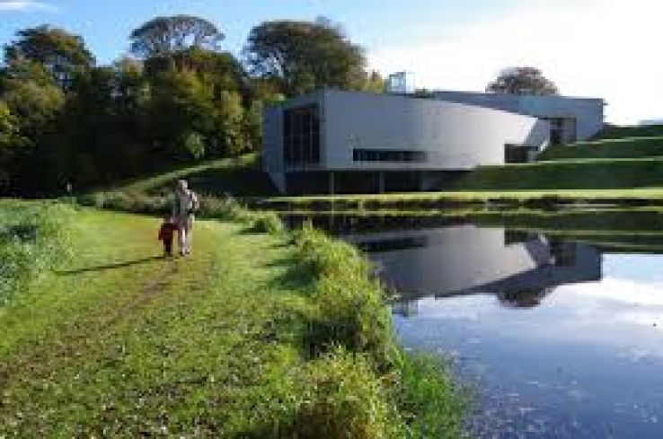 Enclosure in Knockogonnell,turlough (ballymoe By.)Enclosure · 398 yd
 Enclosure in KnockogonnellEnclosure · 589 yd
 Penal Mass station in KilcooleyPenal Mass station · 918 yd
 Church in ruinsChurch · 1125 yd
 Site of Ballyglass CastleCastle, unclassified · 1.2 mi
 Site of Killomaine Grave YardArchaeological place · 2.2 mi
 Castle (in ruins)Castle, unclassified · 2.4 mi
 Rook HillMountain / peak · 2.7 mi
 HawthornHawthorn · 5.7 mi
 Mount MaryMountain / peak · 8.4 mi
 European ashEuropean ash · 8.8 mi
 Sally IslandIslet · 9.8 mi