What is recorded here
Depicted on 1842 OS 6-inch map as hachured, oval enclosure (c. 40m N-S; c. 30m E-W). Levelled; area planted with coniferous trees. (Walsh 1985, 54, 116, no. 77)
The above description is derived from the published 'Archaeological Inventory of County Cork. Volume 2: East and South Cork' (Dublin: Stationery Office, 1994). In certain instances the entries have been revised and updated in the light of recent research.
Date of upload/revision: 14 January 2009
The monument record does not grant public access. Check the route and ask the landowner before entering private land.
- What survives
- Recorded monument
Places near here
 Fox's Rock WoodWood · 782 yd
 KilnKiln, lime · 855 yd
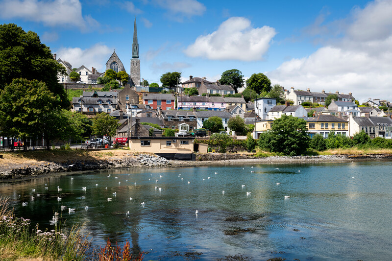 Welcome to KillardVisitor information · 875 yd
 Blarney lake bird nest islandIslet · 929 yd
 Blarney Houseicehouse · 949 yd
 Blarney LakeVisitor information · 971 yd
 European BeechEuropean Beech · 1006 yd
 BallyCannon Boys MemorialMemorial · 1057 yd
 Conor LuceyMemorial · 1113 yd
 Holy well in BallycannonHoly well · 1163 yd
 The Rock CloseHeritage attraction · 1191 yd
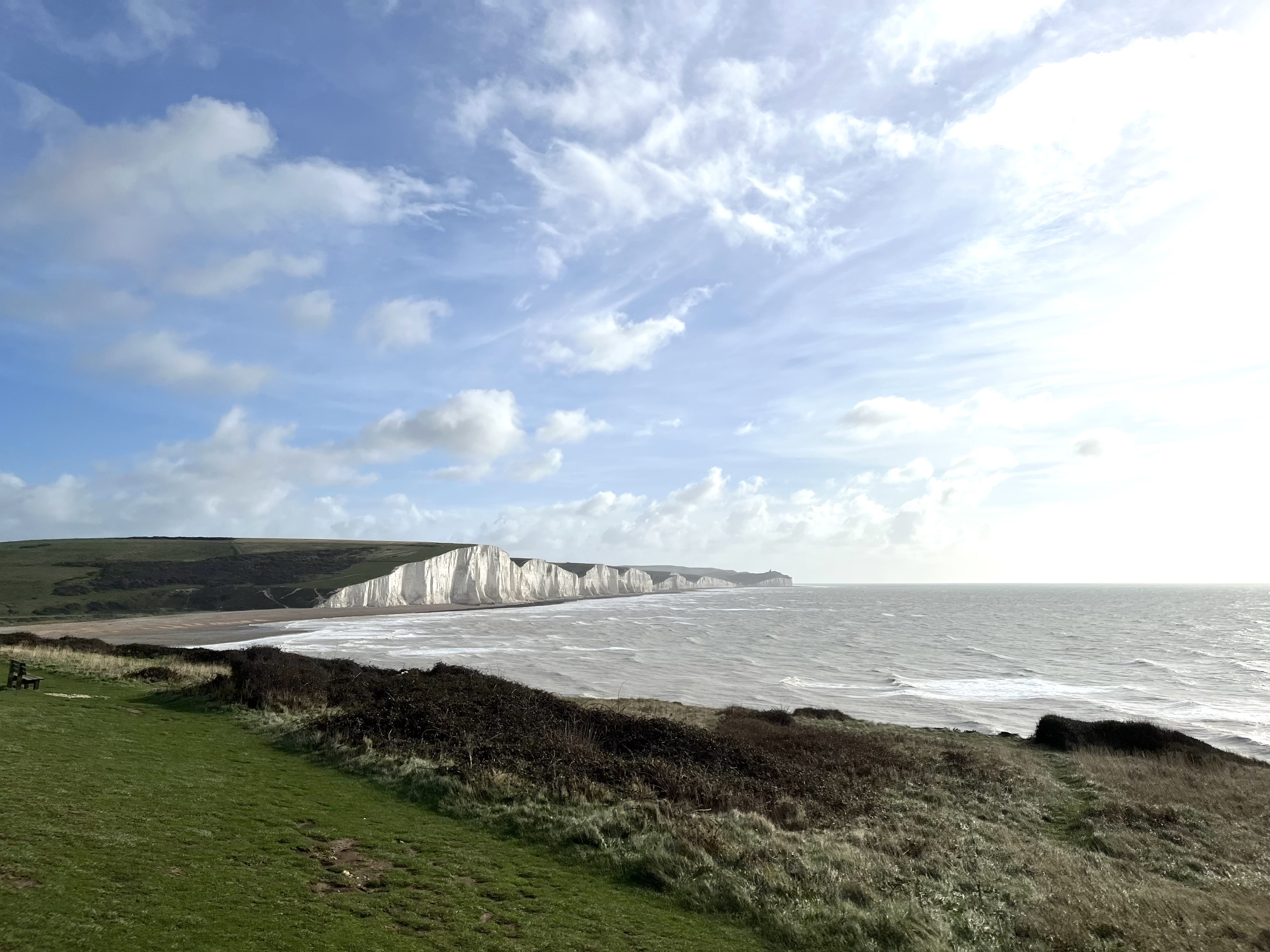 The Seven SistersHeritage attraction · 1270 yd