What is recorded here
In pasture immediately E of disused railway track. Not depicted on OSi historic maps. Identified as an oval-shaped enclosure from aerial photograph (ASIAP (372) 32) taken 10/05/2003. Faint traces of monument visible as a cropmark on OSi orthophoto taken between 2005-12 and on Google Earth orthoimage dated 20/09/2020.
See attached aerial photograph (ASIAP (372) 32) and Google Earth orthoimages.
Compiled by: Martin Fitzpatrick
Date of upload: 13 May 2021
The monument record does not grant public access. Check the route and ask the landowner before entering private land.
- What survives
- Recorded monument
Places near here
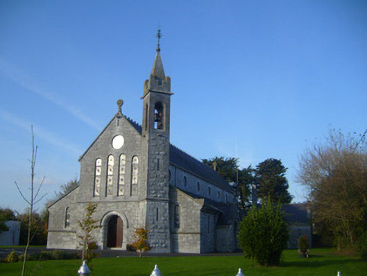 Catholic Church of the Immaculate Conceptionchurch/chapel · 294 yd
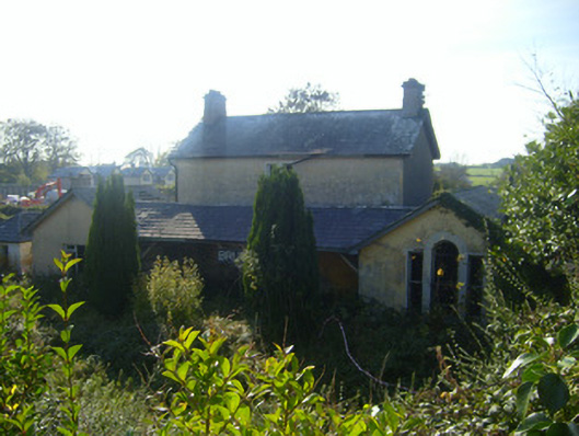 Bruree Railway Stationrailway station, goods shed · 408 yd
 IndicatedHoly well · 412 yd
 OutlinedGraveyard · 598 yd
 Bruree Castle Upper (ruins)Castle · 611 yd
 Bruree Castle Lower (in ruins)Castle, Anglo-Norman masonry castle · 1117 yd
 King John's CastleCastle · 3.9 mi
 Lady's WellSpring · 4.7 mi
 ToberSpring · 4.8 mi
 KnockfeerinaMountain / peak · 7.1 mi
 Flat cemetery in Knockainy WestFlat cemetery · 9.1 mi
 Ballinvreena LoopVisitor information · 9.6 mi