What is recorded here
Located within the Connemara National Park, on a small plateau in a bend on the E bank of the Polladirk River. This small enclosure (L 4m; Wth 2.8m), aligned NNW-SSE, is defined by a rubble wall. And internal division gives it an overall figure-of-eight plan. A gap at W may mark an entrance. Another enclosure (GA023-050001-) lies c. 27m to the N. This monument was brought to the attention of the Archaeological Survey of Ireland by Helen Riekstiņš.
Compiled by: Olive Alcock with information supplied by Helen Riekstiņš
Date of upload: 27 August 2018
The monument record does not grant public access. Check the route and ask the landowner before entering private land.
- What survives
- Recorded monument
Places near here
 Enclosure in Knockbrack (ballynahinch By.)Enclosure · 25 yd
 Hut site in Addergoole (ballynahinch By.)Hut site · 433 yd
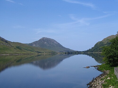 Binn GhuaireMountain / peak · 977 yd
 Cnoc BreacMountain / peak · 1034 yd
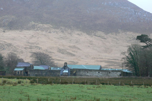 Kylemore Farm Housefarmyard complex · 1355 yd
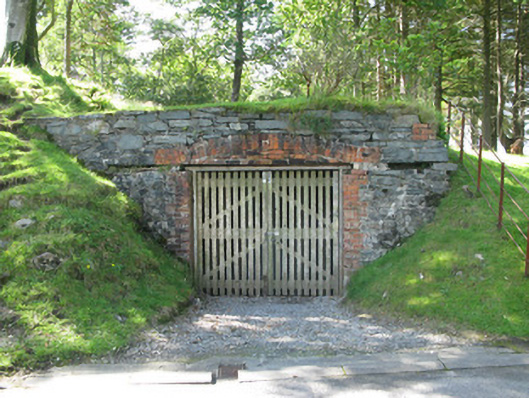 Kylemore Abbeyboathouse · 1.1 mi
 Monterey PineMonterey Pine · 1.1 mi
 Cabbage treeCabbage tree · 1.3 mi
 BenbaunMountain / peak · 1.6 mi
 Connemara National ParkNational park · 1.8 mi
 RoeillaunIslet · 3.9 mi
 Lettergesh BeachBeach / strand · 4.2 mi