What is recorded here
'Located in a field on gently south sloping land, which has been reclaimed, although it is still marshy and wet in places. A small stream forms the southern boundary of the field, which affords extensive views mainly to the south and west. This is a penannular ditch which has an opening c.5.00m wide to the south. The banks of this enclosure are an average of 8.5m wide and have an average height of 1.00m in height. These enclose a central area 14.9 in diameter. The bank is composed of earth and small stones. Total dimensions of the site are 32.0m N-S by 32.0m E-W.'
Compiled by Michael Connolly for the Archaeological Survey of Ireland as part of a survey of the Lee Valley area in 1996-97.
Date of upload: 4 May 2012
The monument record does not grant public access. Check the route and ask the landowner before entering private land.
- What survives
- Recorded monument
Places near here
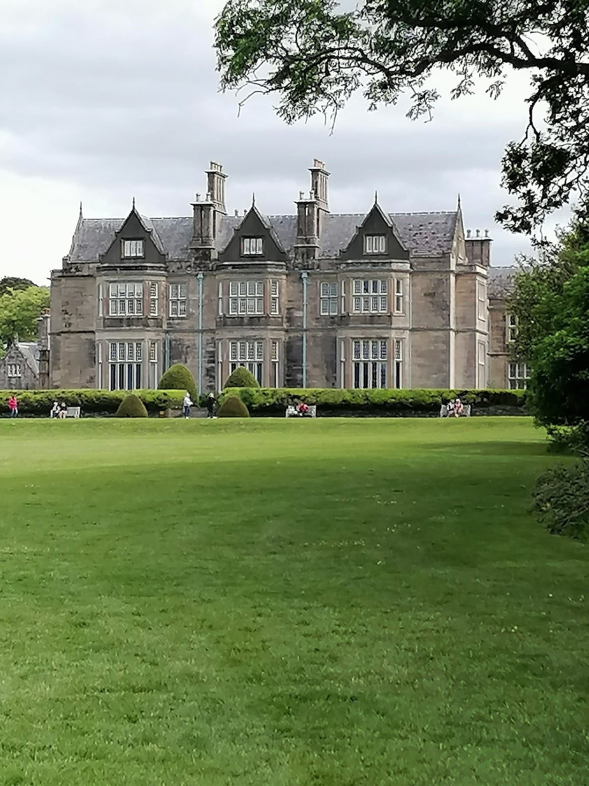 Enclosure in BallymacthomasEnclosure · 438 yd
 Kilquane Church (in Ruins)Church · 648 yd
 Field system in BallymacthomasField system · 769 yd
 PoulatouirtCave · 1265 yd
 IndicatedCastle, unclassified · 1405 yd
 Poulclashcannon (blocked)Cave · 1562 yd
 Common AlderCommon Alder · 1.0 mi
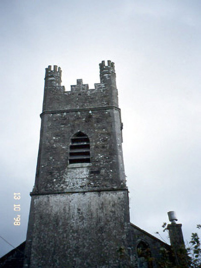 Ballymacelligott Churchchurch/chapel · 1.0 mi
 Site of McElligotts CastleCastle, unclassified · 1.2 mi
 Monument WoodWood · 1.5 mi
 Civil War MemorialMemorial · 3.2 mi
 CruslineMountain / peak · 3.6 mi