What is recorded here
Situated on a gentle SW-facing slope in the valley of the NW-SE River Slaney with the stream c. 650m to the SW. The cropmark of a large sub-rectangular enclosure (dims. c. 80m E-W, c. 50m N-S) defined by a narrow fosse or ditch feature is visible on aerial photographs (MM (55) 22-23). It may have been from a small wood.
Compiled by: Michael Moore
Date of upload: 5 April, 2012
The monument record does not grant public access. Check the route and ask the landowner before entering private land.
- What survives
- Recorded monument
Places near here
 Ballyrankin Housegates/railings/walls · 713 yd
 Clohamon Castle (in ruins)Castle, unclassified · 1093 yd
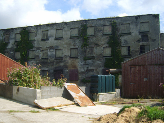 mill (water)mill (water) · 1246 yd
 Ryland Castle (in ruins)Castle, unclassified · 1579 yd
 European YewEuropean Yew · 1634 yd
 European LarchEuropean Larch · 1697 yd
 IndicatedFairy fort / earthen ringfort · 1713 yd
 Borris Castle (in ruins)Gatehouse · 2.5 mi
 1798 rebellion Battle of Newtownbarry (AKA Bunclody) commemorative plaqueMemorial · 2.5 mi
 Bunclody 1798 Bicentenary MemorialMemorial · 2.5 mi
 Gibbet HillMountain / peak · 3.2 mi
 John's HillMountain / peak · 4.3 mi