What is recorded here
Knockane in County Kerry is a missing place, not a visible one. The land was a killeen burial ground when first drawn, remained marked as disused on later maps, and then disappeared under a quarry. Whatever lived beneath that soil was dug out and scattered, leaving only the memory of a boundary nobody bothered to protect.
Marked on the 1841-42 OS map as 'Killeen Burial Ground' and on the 1939 map as 'Killeen Burial Ground' (disused), this site has since been completely destroyed by a quarry. Although there are some rises and depressions visible, it is impossible to speculate whether they were connected to the killeen.
The above description is derived from C. Toal, ‘North Kerry Archaeological Survey’. Dingle. Brandon in association with FAS Training and Employment Authority (1995), no. 865. In certain instances the entries have been revised and updated in the light of recent research.
Date of upload: 3 August 2013
The monument record does not grant public access. Check the route and ask the landowner before entering private land.
- What survives
- Recorded monument
Places near here
 Fulacht fia in CoolatoosaneFulacht fia · 1549 yd
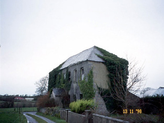 Bedford Househouse · 1605 yd
 Enclosure in BedfordEnclosure · 1.0 mi
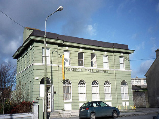 Listowel Carnegie Free Librarylibrary/archive · 1.9 mi
 John B. Keane GroveMemorial · 2.0 mi
 Lartigue MonorailMuseum · 2.0 mi
 Statue of SchillerMemorial · 2.1 mi
 CastleCastle, tower house · 2.2 mi
 Kerry Writers' MuseumMuseum · 2.3 mi
 Listowel Castle (in ruins)Castle, tower house · 2.3 mi
 Siege of Carrigafoyle Castlesiege · 6.7 mi
 KnockanoreMountain / peak · 6.9 mi