What is recorded here
In pasture, atop rise. Depicted on 1842 OS 6-inch map as hachured roughly oval enclosure (c. 50m E-W; c. 40m N-S), immediately to N of roadway. Levelled; low bank profile visible to W.
The above description is derived from the published 'Archaeological Inventory of County Cork. Volume 4: North Cork' (Dublin: Stationery Office, 2000). In certain instances the entries have been revised and updated in the light of recent research.
Date of upload/revision: 14 January 2009
The monument record does not grant public access. Check the route and ask the landowner before entering private land.
- What survives
- Recorded monument
Places near here
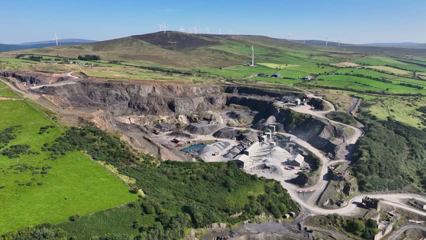 Quarry in Knockanare (orrery and Kilmore By.)Quarry · 513 yd
 St Winifreds WellHoly well · 741 yd
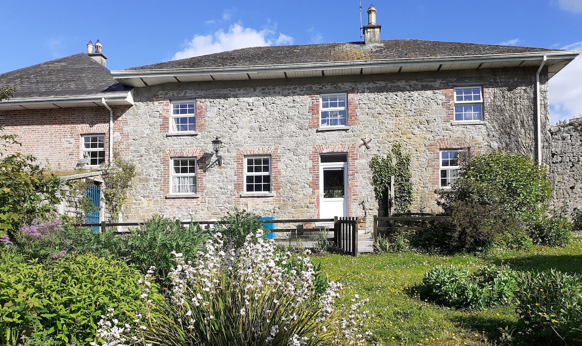
 Ballyellis Lodgehouse · 841 yd
 IndicatedEnclosure · 894 yd
 CastleCastle, unclassified · 1566 yd
 SycamoreSycamore · 1.1 mi
 David HurleyMemorial · 1.1 mi
 Lombards CastleCastle, tower house · 1.1 mi
 Charles BunworthMemorial · 1.2 mi
 Rogan's Rock CovertWood · 1.9 mi
 Smith's WellSpring · 2.3 mi
 Doneraile HouseHeritage attraction · 2.7 mi