What is recorded here
An enclosure called Glenbrown fort is marked on the Grand Jury map of Waterford dated 1819 (NLI: 16 J 4) at Knockalisheen. It is placed high on the S-facing mountainside and the townland name would suggest the presence of a rath. It remains unlocated.
Compiled by: Michael Moore
Date of uplaod: 29 September 2011
The monument record does not grant public access. Check the route and ask the landowner before entering private land.
- What survives
- Recorded monument
Places near here
 Turraphuca WoodForest · 586 yd
 farm housefarm house · 862 yd
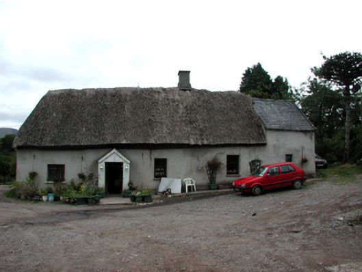 Shanballyanne Cottagehouse · 1252 yd
 Knocknaree WoodForest · 1.1 mi
 Field system in GraignagowerField system · 1.3 mi
 CairnCairn, clearance cairn · 1.3 mi
 KnockatedaunMountain / peak · 1.9 mi
 Site of CastleCastle, unclassified · 2.0 mi
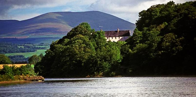 Laghtnafrankee SW TopMountain / peak · 2.0 mi
 The Prison WaterfallWaterfall · 3.3 mi
 Castle Coonagh (in ruins)Castle, tower house · 3.4 mi