What is recorded here
Situated on high ground in an upland area. An irregular-shaped earthwork covered in dense scrub and partially destroyed by ridges from recent forest plantation. No archaeological features visible. Depicted as a roughly D-shaped platform type earthwork on the 1840 ed. OS 6-inch map and as a D-shaped enclosure on the revised 1901 ed. OS 25-inch map. Vol. 1 - North Tipperary' compiled by Jean Farrelly and Caimin O'Brien (Dublin: Stationery Office, 2002).
From the National Monuments Service (Archaeological Survey of Ireland) record TN025-027
The monument record does not grant public access. Check the route and ask the landowner before entering private land.
- What survives
- Recorded monument
Places near here
Photo credits
- National Inventory of Architectural Heritage
- Andreas F. Borchert, Wikimedia Commons · CC BY-SA 4.0
- P L Chadwick, Geograph · CC BY-SA 2.0
- Oliver Dixon, Geograph · Creative Commons Attribution-ShareAlike 2.0
- Discover Lough Derg, Wikimedia Commons · CC BY-SA 2.0
- David P Howard, Geograph · CC BY-SA 2.0
- Colin Park, Geograph · CC BY-SA 2.0
- Garry Dickinson, Geograph · CC BY-SA 2.0
- SirGarick, Wikimedia Commons · CC BY-SA 4.0
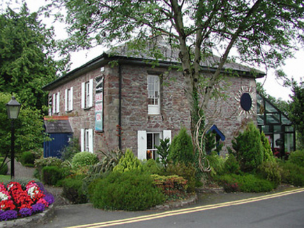 Birdhill Garda Síochána StationRic barracks · 1.3 mi
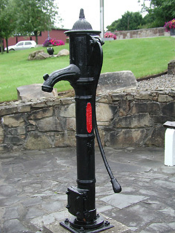 water pump1.3 miThe Pollagh TrailNature reserve · 1.4 miMy Next AdventureHeritage attraction · 1.8 mi
 Cath.Cathedral · 1.8 mi
 Brian Boru Heritage CentreVisitor information · 1.9 mi
 TobermurraghHoly well · 2.2 mi
.jpg/250px-Brian_Boru's_Fort_(51357382309).jpg "Photo: Discover Lough Derg, Wikimedia Commons · CC BY-SA 2.0") Brian Boru FortHeritage attraction · 2.8 mi
Brian Boru FortHeritage attraction · 2.8 mi Rinnaman PointHeadland · 4.2 mi
 MoylussaMountain / peak · 5.5 mi
 Castle Connell (in ruins)Castle, Anglo-Norman masonry castle · 6.0 mi
 Castle ConnellRuins · 6.0 mi
More archaeology and monuments in County Tipperary · All of County Tipperary
What do you know about this place?