
What is recorded here
On a low limestone ridge, in an unimproved area of generally level pasture, dominated by large areas of impenetrable blackthorn thickets (H>2m). Depicted on the 1921 edition of the OS 6-inch map as a circular enclosure (diam. c. 33m). A drystone wall forms the townland boundary S-W-N which appears to sit on top of the enclosing elements, as depicted on the 1921 edition of the OS 6-inch map. A portion of the levelled bank (int. H 0.2m; ext. H 0.3m; Wth at top 2.6m; overall Wth 7.6m) is evident at NE, where a cattle path has made a breach in the thickets. This affords entry into the interior where there is a small clearing which has small clumps of young thorn trees.
The following images have been uploaded:
CL035-061----_01.jpg General view of enclosure at W.
CL035-061----_02.jpg Exterior of bank at W.
CL035-061----_03.jpg Cross-sectional view of bank at NE.
Compiled by: Mary Tunney, Alison McQueen and Vera Rahilly
Date of upload: 14 November 2017
The monument record does not grant public access. Check the route and ask the landowner before entering private land.
- What survives
- Recorded monument
Places near here
 Enclosure in Cutteen MoreEnclosure · 486 yd
 Hilltop enclosure in KnockadoonHilltop enclosure · 848 yd
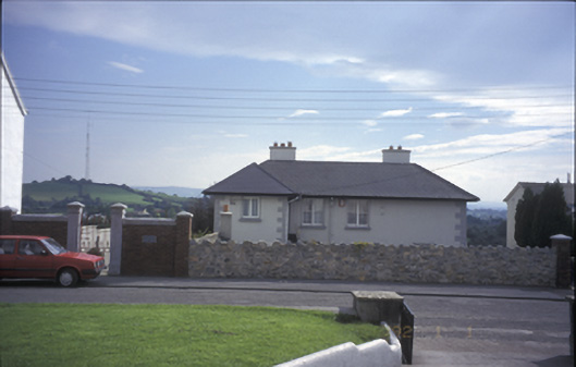 Tulla Househouse · 1105 yd
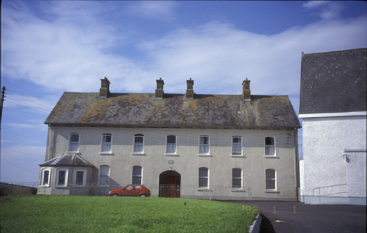 Cnoc na Gaoitheconvent/nunnery · 1161 yd
 Lissofin Castle (in ruins)Castle, unclassified · 1235 yd
 Tulla Castle (Site of)Castle, unclassified · 1306 yd
 The StablesGallery · 1322 yd
 Cloghleagh RockNamed rock · 2.4 mi
 The RingfortHeritage attraction · 3.5 mi
 Deerpark WoodForest · 5.2 mi
 Derrymore WoodWood · 5.6 mi
 Broadford Mass RockMemorial · 6.5 mi
Other information
Photo: Credit not shown in the picture search · Rights wording not checked; contact us if this picture should be removed