
What is recorded here
In improved pasture, on a generally level plateau of an otherwise gently undulating field, with bedrock close to the surface. Depicted on the 25-inch OS map as an oval enclosure (33m N-S; 28m E-W) located between three field boundaries which are to SW, NW (roadside) and NE. A footpath is shown skirting the western side of the monument. Not visible at ground level. According to local information, this was levelled during land improvements in the 1970s.
Compiled by: Mary Tunney, Alison McQueen and Vera Rahilly
Date of upload: 14 November 2017
A local fairy fort (ringfort/rath); wider significance not recorded.
The monument record does not grant public access. Check the route and ask the landowner before entering private land.
- What survives
- Recorded monument
Places near here
 Enclosure in Knockadoon,cutteen MoreEnclosure · 486 yd
 Knockmoyle FortEnclosure · 747 yd
 Lissofin Castle (in ruins)Castle, unclassified · 799 yd
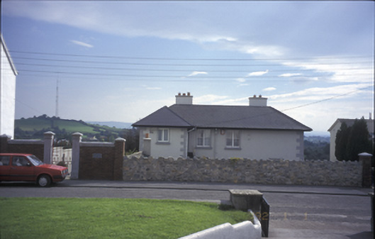 Tulla Househouse · 1174 yd
 The StablesGallery · 1192 yd
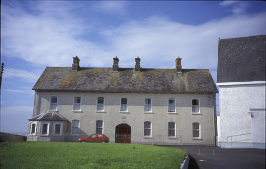 Cnoc na Gaoitheconvent/nunnery · 1200 yd
 Tulla Castle (Site of)Castle, unclassified · 1401 yd
 Cloghleagh RockNamed rock · 2.2 mi
 The RingfortHeritage attraction · 3.4 mi
 Derrymore WoodWood · 5.4 mi
 Deerpark WoodForest · 5.4 mi
 Children's Burial GroundArchaeological place · 907 yd
Other information
Photo: Credit not shown in the picture search · Rights wording not checked; contact us if this picture should be removed