What is recorded here
Kilquire Lower is an enclosure, a subcircular ringfort roughly thirty-five to forty metres across, with a rectangular house tucked into its north-west quadrant. It sat abutted by field plots at the north and east, a compact domestic world in open pasture. Men levelled it during land reclamation, erasing the ridge and room alike. What remains is a absence shaped like a home, visible only in old aerial photographs and the memory of soil.
In pasture, incorporated into a field system (MA118-078006-). This enclosure is recorded in aerial photographs (CUCAP BDN 97 & 98, 1970; SMR file) where it is visible as a subcircular enclosure (diam. c. 35-40m), possibly a ringfort, with a rectangular house (MA118-078005-) in the NW quadrant, and abutted at N and NE by subrectangular field plots. It was levelled during land reclamation (Lavelle 1994, 38, no. 235).
Compiled by: Jane O'Shaughnessy
Date of upload: 13 December 2013
The monument record does not grant public access. Check the route and ask the landowner before entering private land.
- What survives
- Recorded monument
Places near here
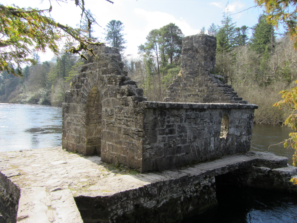 Enclosure in Kilquire LowerEnclosure · 328 yd
 Bawn in Kilquire LowerBawn · 569 yd
 Church in ruinsChurch · 692 yd
 Enclosure in TullyduffEnclosure · 1016 yd
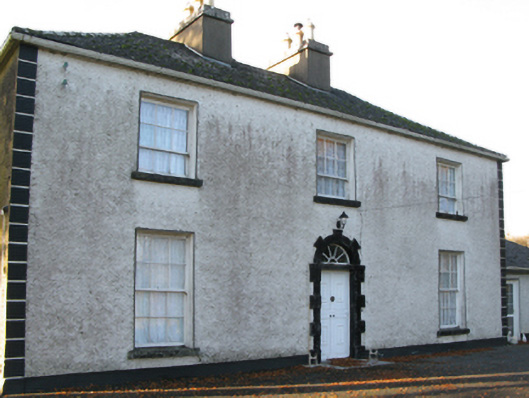 Fort Villefarm house · 1106 yd
 Castle in ruinsCastle, tower house · 1.0 mi
 SycamoreSycamore · 3.4 mi
 European YewEuropean Yew · 3.5 mi
 Crane IslandIslet · 6.4 mi
 Cow IslandIslet · 6.5 mi
 School of FalconryHeritage attraction · 8.3 mi
 Ross Errilly FriaryHeritage attraction · 8.6 mi