What is recorded here
An aerial photograph taken by in the 1980s (Dr Gillian Barrett) shows a series of cropmarks representing at least three enclosures (av. diam. c. 60-70m). Portion of an outer enclosing element is visible at the most western site. Not visible at ground level. The site was subject to geophysical survey (Licence no. 11R0152) and subsequent test excavation (Licence no. 12E0063) which identified a linear feature (1.5m wide x 0.4m deep) that mirrored the line of the southern side of the enclosure and may form part of this monument (Kavanagh 2012, 24).
Compiled by: Geraldine Stout
Updated by: Christine Baker
Date of upload: 20 January 2015
The monument record does not grant public access. Check the route and ask the landowner before entering private land.
- What survives
- Recorded monument
Places near here
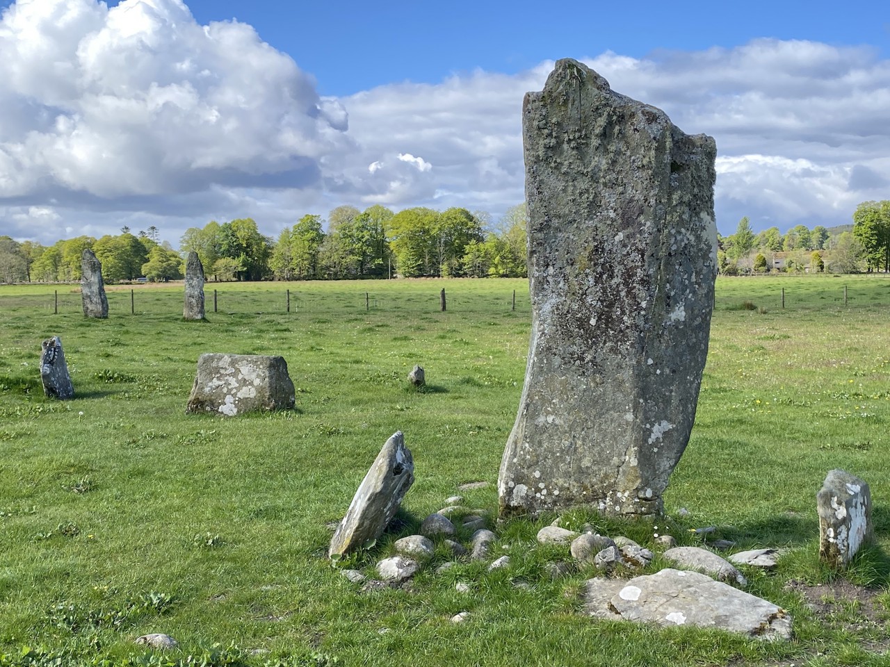 Enclosure in KilmartinEnclosure · 105 yd
 Ring-ditch in KilmartinRing-ditch · 255 yd
 Saint Thomas's Church (Mulhuddart)church/chapel · 1244 yd
 TyrrelstownWood · 1386 yd
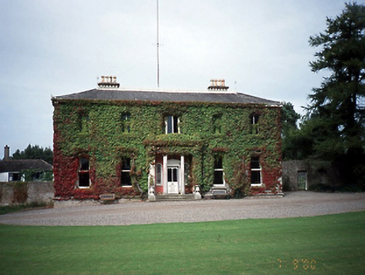 Tyrrelstown Housecountry house · 1414 yd
 Graveyard in BuzzardstownGraveyard · 1.2 mi
 Wesley's WoodsWood · 1.6 mi
 Kilbride MoatCastle, motte · 2.0 mi
 Depicted Kilshane MoatCastle, motte · 2.2 mi
 Liam Ó MaoilíosaMemorial · 4.2 mi
 Griffeen Valley WalkWalking route · 6.1 mi
 Saint Wolstan'sHeritage attraction · 7.6 mi