What is recorded here
Situated in tillage field. Not indicated on any ed. OSi historic maps. No surface remains visible. Cropmark of circular shaped area (diam. c. 44m) defined by a ditch visible on Google Earth orthophotos taken August 2022 and on aerial images taken 18/03/2009. Possibly the remains of a ploughed out ringfort.
See attached Google Earth orthoimages
Compiled by: Caimin O'Brien based on details provided by Ed Lyne
Date of upload: 16 August 2022
The monument record does not grant public access. Check the route and ask the landowner before entering private land.
- What survives
- Recorded monument
Places near here
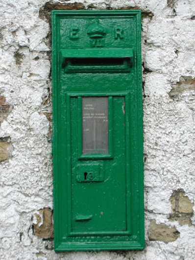 post boxpost box · 135 yd
 Church (in Ruins), Grave YardChurch · 797 yd
 CairnCairn, wayside cairn · 924 yd
 Enclosure in RathrobinEnclosure · 1.1 mi
 Rathrobiin Castle in RuinsCastle, unclassified · 1.6 mi
 CastleCastle, unclassified · 1.8 mi
 Kilmanman church (in Ruins), GraveyardChurch · 2.0 mi
 Mullagh HillMountain / peak · 2.7 mi
 Church (in Ruins), Graveyard, CarrigeenChurch · 3.1 mi
 Lowerton HillMountain / peak · 3.3 mi
 Mahon's WoodWood · 3.4 mi
 Bridge WoodWood · 3.6 mi