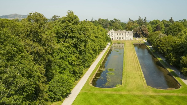
What is recorded here
Possible circular enclosure (diam. c. 28m) defined by cropmark of a fosse, visible on OSi ortho imagery (dated 2005): http://maps.osi.ie/publicviewer/#V1,720105,719969,7,0 [Accessed 20 November 2012].
Compiled by: Claire Breen
Date of upload: 20 November 2012
The monument record does not grant public access. Check the route and ask the landowner before entering private land.
- What survives
- Recorded monument
Places near here
 Enclosure in GlencullenEnclosure · 334 yd
 Enclosure in BallybetaghEnclosure · 355 yd
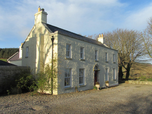 Ballybetagh Housefarm house · 1159 yd
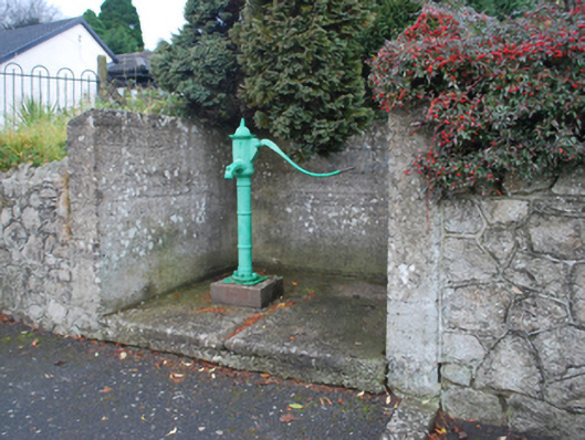 water pumpwater pump · 1160 yd
 Ballybetagh WoodForest · 1179 yd
 Barnaslingan HillMountain / peak · 1.0 mi
 Barnaslingan - Scalp Lookout TrailWalking route · 1.2 mi
 Barnaslingan - Pine loop trailWalking route · 1.2 mi
 Ballycorus castle Site ofCastle, tower house · 1.4 mi
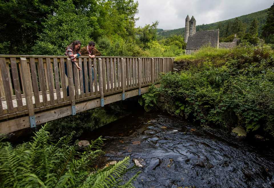 Anacrivey WoodForest · 1.6 mi
 Carrickgollogan HillMountain / peak · 1.8 mi
 Puck's CastleCastle · 2.2 mi
Other information
Photo: Credit not shown in the picture search · Rights wording not checked; contact us if this picture should be removed