What is recorded here
Killeenagh holds a small circular enclosure cut into the hillslope above Castlemaine Harbour, its eastern entrance facing the water and a drystone chamber waiting beside the gap. The remaining bank rises beside rough wet pasture, while a ruined hut foundation sits nearby in the rain. Whatever life moved through that opening did so beneath open sky, measured against the harbour light and the pressure of Atlantic weather.
A small circular enclosure, 10m in diameter internally, located in rough wet pastureland overlooking Castlemaine Harbour. Old ruined field walls are visible in the near vicinity, and a hut foundation lies c. 50m to S (KE045-075----). The interior of the enclosure has been cut back into the hillslope and its NE half is defined only by the scarp thus created. The bank enclosing the remainder of the site is up to 1.4m high. The entrance gap faces E and there is an oval, drystone-lined recess or chamber opening onto its E side.
The above description is derived from J. Cuppage, ‘Corca Dhuibhne. Dingle Peninsula archaeological survey. Ballyferriter. Oidhreacht Chorca Dhuibhne’ (1986), no. 1546. In certain instances the entries have been revised and updated in the light of recent research.
Date of upload: 5 August 2013
The monument record does not grant public access. Check the route and ask the landowner before entering private land.
- What survives
- Recorded monument
Places near here
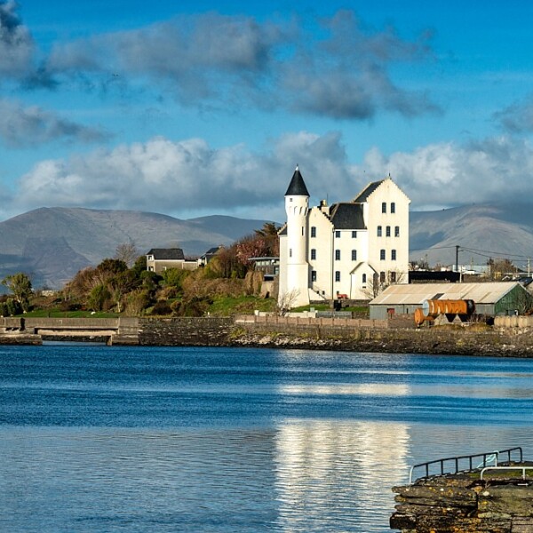 Hut site in CaherpierceHut site · 128 yd
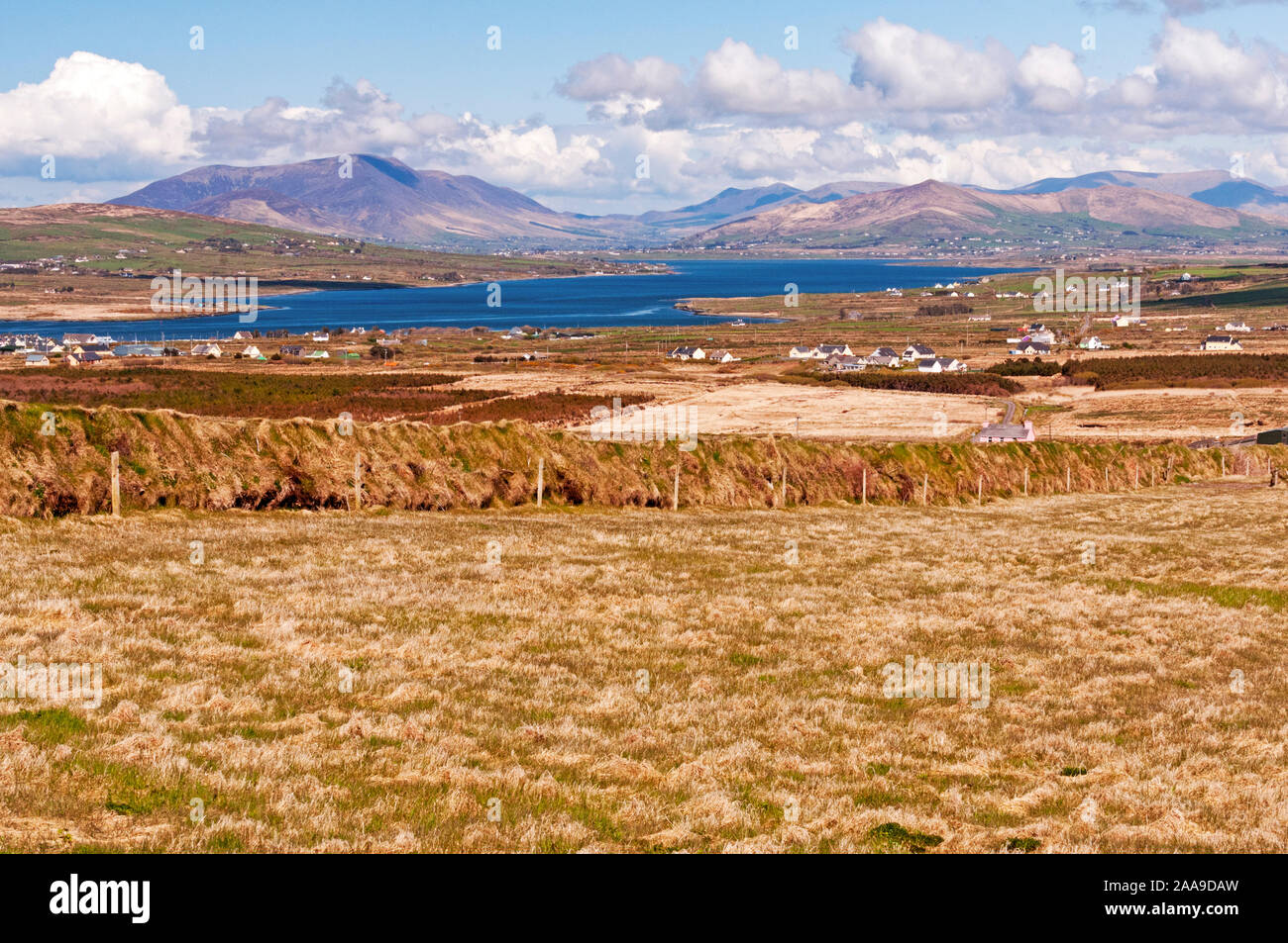 IndicatedHoly well · 531 yd
 KilnKiln, corn-drying · 907 yd
 Church in LackChurch · 1080 yd
 BeenduffMountain / peak · 1.1 mi
 KnockmoreMountain / peak · 1.3 mi
 Cromane PointHeadland · 1.4 mi
 Inch BeachBeach / strand · 2.8 mi
 Cromane BeachBeach / strand · 3.1 mi
 CastleCastle, unclassified · 3.9 mi
 Faisr's GraveArchaeological place · 4.1 mi
 Site of Camp CastleCastle, unclassified · 4.4 mi