
What is recorded here
'The remains of this large enclosure are situated on sloping ground to the north of Tralee town. The location of the site affords excellent views to the west, south and east. It is now substantially overgrown, the northern half of the enclosure has been planted with trees in the last century, the eastern quadrant has been partially built on by tennis courts. Traces of the enclosing element survive in the south west quadrant, having an external height of 0.40m. No accurate measurement of the width of the bank can be gauged here as it is substantially overgrown.
The interior has a dished appearance, in the centre of which is a mound of earth and stones, 9.00m in diameter and 1.20m in height, which now has large boulders dumped on top. These may have come from the construction of the nearby tennis courts. Part of the enclosing bank seems to survive in the trees to the north. Here a 6.00m wide bank, 0.50m high is traceable in the trees. It is very disturbed, and has a line of evergreen trees growing along the crest of the bank. Total dimensions of this enclosure are 149m E-W.'
Compiled by Michael Connolly for the Archaeological Survey of Ireland as part of a survey of the Lee Valley area in 1996-97.
Date of upload: 02 May 2012
The monument record does not grant public access. Check the route and ask the landowner before entering private land.
- What survives
- Recorded monument
Places near here
 CastleCastle, unclassified · 184 yd
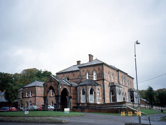 Collis-Sandes Housecountry house · 198 yd
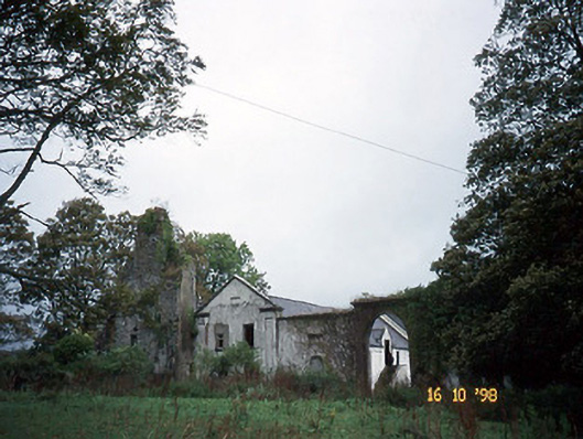 Woodlawnhouse · 271 yd
 Monterey PineMonterey Pine · 346 yd
 Sunday's WellSpring · 550 yd
 Enclosure in Muing WestEnclosure · 897 yd
 LisnadreegleeArchaeological place · 1211 yd
 Crimea Cannon and War MemorialMonument · 1.2 mi
 Castle MacallistrumCastle, unclassified · 1.2 mi
 The DicemanMemorial · 1.2 mi
 John Hurley GalleryGallery · 1.3 mi
 Kerry County MuseumMuseum · 1.4 mi
Other information
Photo: Credit not shown in the picture search · Rights wording not checked; contact us if this picture should be removed