
What is recorded here
On a low NW-SE ridge overlooking a turlough to the NE. Hachured as an enclosure on the 1920 OS 6-inch map and on the 25-inch plan. Listed as ‘Enclosure’ in the SMR (1992) and the RMP (1996). On inspection in 1999 there were no visible remains at ground level. A cashel (CL025-027----) lies c. 75m to the NNW.
Compiled by: Mary Tunney
Date of upload: 19 November 2025
The monument record does not grant public access. Check the route and ask the landowner before entering private land.
- What survives
- Recorded monument
Places near here
 Kylemore Fort / Infants Burial GroundHilltop enclosure · 513 yd
 Bawn in CregmoherBawn · 1594 yd
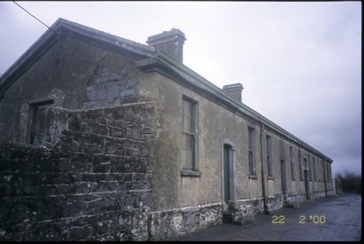 The Old Workhouseworkhouse · 1644 yd
 IndicatedFairy fort / stone ringfort · 1656 yd
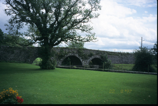 Corrofin Bridgebridge · 1665 yd
 Castle (in Ruins)Castle, tower house · 1.4 mi
 Battle of TullyodeaBattlefield · 1.6 mi
 Rock IslandIsland · 1.9 mi
 Inchiquin IslandIslet · 2.0 mi
 Ballygriffy WoodWood · 2.7 mi
 Dromore WoodWood · 3.6 mi
 Fergus River CaveCave · 4.1 mi
Other information
Photo: Credit not shown in the picture search · Rights wording not checked; contact us if this picture should be removed