What is recorded here
In low-lying marshy pasture, on gentle S-facing slope. Roughly circular area (diam. c. 110m) enclosed by earthen bank with external fosse (D 1.1m; Wth 4.2m). Bank (int. H 0.7m; ext. H 1.95m), best preserved SSE->SW, lowers at E (int. H 0.65m; ext. H 0.8m). Waterlogged fosse best preserved SSE->SW, but is not evident NE->SSE. Field drain opens into fosse at WSW. Marshy interior, under rough pasture, used as small field. Farm passage (Wth 2.75m), cutting through bank at WSW (Wth 4.8m), skirts along base of inner bank face before exiting at N (Wth 5.5m). Field boundaries abut enclosure at WSW and SSE.
Compiled by: Denis Power
Date of upload: 26 August 2011
The monument record does not grant public access. Check the route and ask the landowner before entering private land.
- What survives
- Recorded monument
Places near here
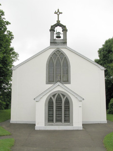 Catholic Church of Our Lady of Sorrowschurch/chapel · 617 yd
 BarrowBarrow, ring-barrow · 796 yd
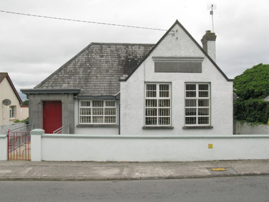 Broadford Carnegie Librarylibrary/archive · 815 yd
 Mound in Killeen (glenquin By.)Mound · 1075 yd
 Castle (in ruins), Springfield CastleCastle, tower house · 1153 yd
 Glenduff CastleCastle, tower house · 2.3 mi
 ToberhoranSpring · 2.7 mi
 National Co-op MuseumMuseum · 2.9 mi
 ToberacappeenSpring · 3.0 mi
 Mullaghareirk - Banane LoopWalking route · 4.3 mi
 Ballagh MountainMountain / peak · 4.7 mi
 Rock HillMountain / peak · 6.6 mi