
What is recorded here
Not visible at ground level. Gate pier of 19th-century date located where ringfort is marked on OS 6-inch map. Depicted as large circular enclosure on the 1912 edition of the OS 6-inch map. Gate pier may belong to folly which was located in the centre of the destroyed enclosure.
The above description is derived from the published 'Archaeological Inventory of County Offaly' (Dublin: Stationery Office, 1997). In certain instances the entries have been revised and updated in the light of recent research.
Date of upload: 23 May 2011
The monument record does not grant public access. Check the route and ask the landowner before entering private land.
- What survives
- Recorded monument
Places near here
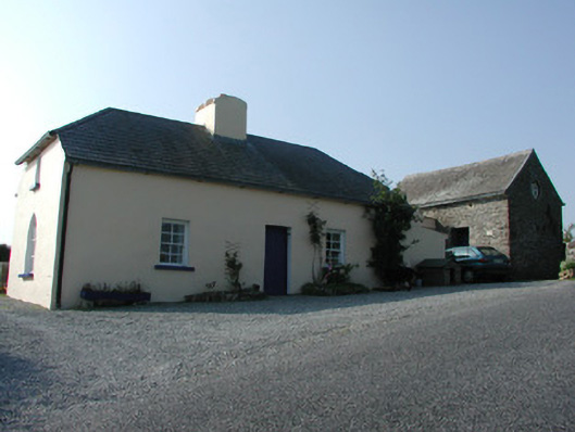 worker's houseworker's house · 337 yd
 Leap CastleCastle · 424 yd
 Bergin's FortArchaeological place · 894 yd
 CastleCastle, tower house · 904 yd
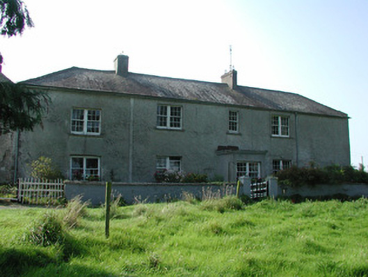 Lissanierin Housefarm house · 1191 yd
 Enclosure in Loughwheelion OR MoneyaddaEnclosure · 1307 yd
 Horan's WoodWood · 1339 yd
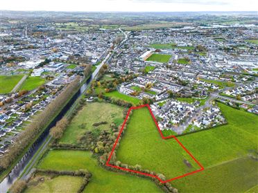 Ballywilliam WoodWood · 1638 yd
 Glenacurragh CastleCastle, tower house · 1.4 mi
 River WalkWalking route · 6.2 mi
 Birr Heritage CentreMuseum · 6.4 mi
 Waterfall PointViewpoint · 6.5 mi
Other information
Photo: Credit not shown in the picture search · Rights wording not checked; contact us if this picture should be removed