
What is recorded here
On a S-facing slope, in hilly terrain with extensive views to the S and E, but restricted views due to higher ground to the W and NW (Clark and Long 2008, 5, 25). Archaeological excavations were carried out in advance of the N7 Nenagh to Limerick dual carriageway (Excavation Licence number E002495). The NE portion of…
Read the whole record
From the National Monuments Service (Archaeological Survey of Ireland) record TN025-098
Places near here
Photo credits
- Maker not stated on source page, en.wikipedia.org
- Maker not stated on source page, commons.wikimedia.org
- Maker not stated on source page, www.inkl.com
- National Inventory of Architectural Heritage
- Maker not stated on source page, jp.pinterest.com
- Kmcnamee, Wikimedia Commons · CC BY-SA 4.0
- P L Chadwick, Geograph · CC BY-SA 2.0
- Maker not stated on source page, www.dreamstime.com
- Discover Lough Derg, Wikimedia Commons · CC BY-SA 2.0
 Fairy fort / earthen ringfort in CappadineFairy fort / earthen ringfort · 753 yd
Explorer Tom Fairy fort / earthen ringfort in Cappadine has decided its New Year's resolution is to finally stop pretending it…
 Earthwork in GreenhallEarthwork · 1371 yd
Explorer Tom Earthwork in Greenhall is a circular platform that probably shifts its weight when nobody’s looking just to keep us…
 Church in Garraun (kilnarath Par.)Church · 1.0 mi
Explorer Tom Church in Garraun was designed by a mother-in-law who couldn’t find the site, so she just drew a circle on the map.…
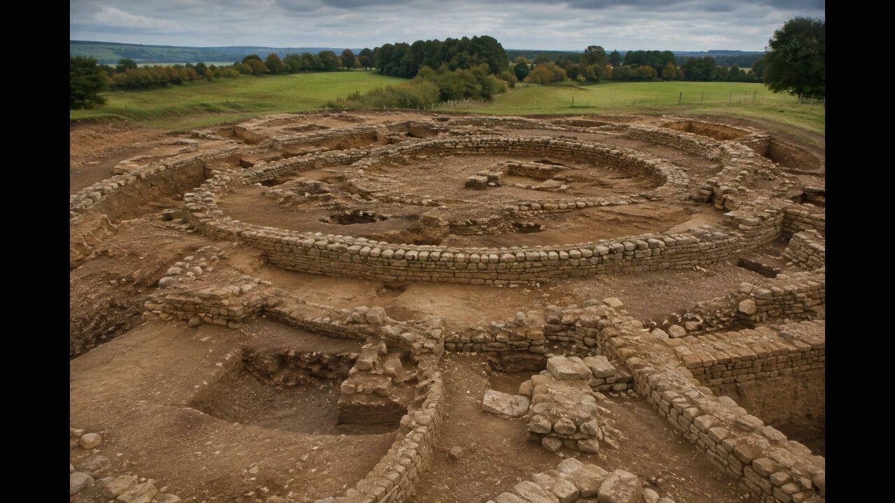 Earthwork in Gortnaskehy (kilmastulla Par.)Earthwork · 1.0 mi
Explorer Tom Earthwork in Gortnaskehy plans to retire by becoming a hill because nobody can see it under the dense vegetation, so…
 Earthwork in ClonaloughEarthwork · 1.5 mi
Explorer Tom Earthwork in Clonalough means 'The Hill That Refused To Be A Ring'. It tried to be round but got lazy and stayed oval.…
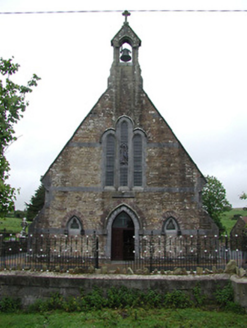 Saint Joseph's Catholic ChurchChurch/chapel · 1.6 mi
Explorer Tom Saint Joseph’s in Rossfinch is giving up fish for Lent but keeping its limestone dressings and sandstone walls, which…
 Kilmastulla CemeteryCemetery · 1.8 mi
Explorer Tom The wind keeps picking on Kilmastulla Cemetery because it thinks the grass is too soft and wants to make it stiffen up…
 Ballinahinch GAA pitchGAA ground · 1.9 mi
 Brian Boru Heritage CentreVisitor information · 3.7 mi
Explorer Tom Brian Boru Heritage Centre in County Clare is hiding a treasure chest inside the library that definitely contains…
 CastleCastle, unclassified · 3.7 mi
Explorer Tom Castle at Shantraud is proud of standing in the river near the flood-gates, which is either brave or very bad plumbing.…
Smith O'Briens GAA pitchGAA ground · 3.8 mi Brian Boru FortHeritage attraction · 4.4 mi
Explorer Tom Brian Boru's Fort is a grand name, and I would be the first to announce the king built every bank by hand. Archaeology…
More archaeology and monuments in County Tipperary · All of County Tipperary

What do you know about this place?Tap to add a comment or ask a question