
What is recorded here
Reported to the Archaeological Survey of Ireland as the location of the low remains of a square enclosure. This area is in pasture, on a gentle ENE-facing slope. No visible surface trace of any potential square enclosure at this location. Possible remains of a circular area (diam. c. 45m) defined by levelled traces of curvilinear bank NW->NE and SE->SW. Interior generally level. Feature incorporated into field as pasture and utilises a natural scarp c. N->E->S. According to historic mapping existing pasture area consolidated from seven smaller fields; whole area re-seeded. ESB pole and line adjacent to W.
Compiled by: Alison McQueen and Vera Rahilly
Date of upload: 5 September 2014
The monument record does not grant public access. Check the route and ask the landowner before entering private land.
- What survives
- Recorded monument
Places near here
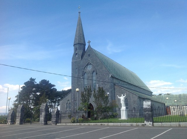 Saint Gertrude's Catholic Churchchurch/chapel · 219 yd
 Molahiffe Mill (Corn)Mill, unclassified · 433 yd
 Enclosure in BohereensEnclosure · 1004 yd
 CastleCastle, ringwork · 1206 yd
 Site of CourtCastle, unclassified · 1323 yd
 Partially indicatedEcclesiastical enclosure · 1622 yd
 Ballygamboon Forest Recreation AreaWood · 4.2 mi
 The Kerry Creamery ExperienceHeritage attraction · 5.2 mi
 Scotia's GraveArchaeological place · 6.2 mi
 Aghadoe Early Medieval Ecclesiastical SiteHeritage attraction · 6.8 mi
 Japanese pagoda treeJapanese pagoda tree · 7.8 mi
 Famine MemorialMemorial · 8.0 mi
Other information
Photo: Credit not shown in the picture search · Rights wording not checked; contact us if this picture should be removed