What is recorded here
In improved pasture, on a ridge (long axis c. E-W). It is depicted on the 1st (1840) ed. OS 6-inch map as a roughly circular enclosure (diam. c. 27m) and on the 1904 ed. as an oval area (dims. c. 40m E-W; c. 24m N-S) defined by scarp with an adjoining oval area (dims. c. 26m N-S; c. 32m E-W) to the NE which is depicted as a depression. The enclosure is not visible above ground level. According to local information, a sand and gravel pit was excavated here (D c. 4ft) and c. 4 or 5 waste mounds were cast up around it; the area was subsequently reinstated years ago.
Compiled by: Jean Farrelly
Date of upload: 26 August 2011
The monument record does not grant public access. Check the route and ask the landowner before entering private land.
- What survives
- Recorded monument
Places near here
 Kilfeakle Castle (in ruins)Castle, tower house · 695 yd
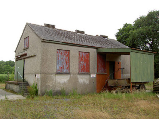 Grantstown Creamerycreamery · 723 yd
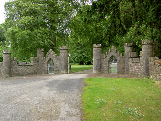 Grantstown Hallgates/railings/walls · 983 yd
 Enclosure in Kilfeakle ChurchquarterEnclosure · 1197 yd
 Enclosure in MountwilliamEnclosure · 1474 yd
 MoatCastle, motte and bailey · 1744 yd
 European ashEuropean ash · 1.5 mi
 I.R.A. 3rd. Tipperary Brigade MemorialMemorial · 3.2 mi
 Soloheadbeg Ambush SiteMemorial · 3.8 mi
 Dundrum Woods (Marl Bog)Forest · 3.8 mi
 Soloheadbeg Ambushambush · 3.8 mi
 It's a long way to TippereryHeritage attraction · 3.9 mi