What is recorded here
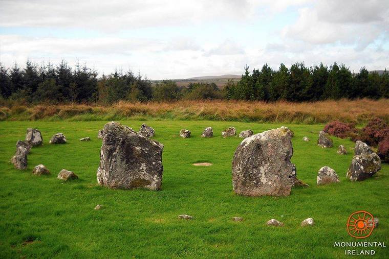
Enclosure described by O'Kelly (1944, 18) as following: A circular earthen platform surrounded by a fosse. Around the S.W., S.E. and N.E. sides. near the edge, there is a hollow concentric with the margin of the platform. This feature is not easily explainable but it probably indicates an effort to dig away the monument. The height over the field is 2' [0.6m] and overall diameter is 192' [58m]. Situated in mashy low-land'.
Monument described by Doody (2008, 135) as an 'oval ditched enclosure, c. 50m x 42m, with significant internal bank'; the morphology of this enclosure indicates that it may be Bronze Age in date (ibid.).
Compiled by: Denis Power
Revised by: Caimin O'Brien
Date of revised upload: 09 August 2019
The monument record does not grant public access. Check the route and ask the landowner before entering private land.
- What survives
- Recorded monument
Places near here
 BarrowBarrow, ring-barrow · 139 yd
 St Bridgets WellHoly well · 442 yd
 Ballinlough Church (in ruins)Church · 1288 yd
 Kilteely HillMountain / peak · 1373 yd
 The Presbyteryhouse · 1392 yd
 St. Patrick's WellSpring · 1622 yd
 Castle (in ruins)Castle, unclassified · 1.7 mi
 Carrickittle RockCastle, unclassified · 1.8 mi
 KnockseefinMountain / peak · 3.6 mi
 Flat cemetery in Knockainy WestFlat cemetery · 3.7 mi
 St Patrick's WellSpring · 6.4 mi
 Ballinvreena LoopVisitor information · 9.1 mi