What is recorded here
The slight remains of a ditch survive in the area marked on the aerial photograph taken in 1981 (OSO 3010094), however it is poorly preserved and is impossible to follow. It is located in an area of poorly drained soils and may have something to do with field drainage. It is an unlikely location for an archaeological site.
The above description is derived from the published 'Archaeological Inventory of County Offaly' (Dublin: Stationery Office, 1997). In certain instances the entries have been revised and updated in the light of recent research.
Date of upload: 23 May 2011
The monument record does not grant public access. Check the route and ask the landowner before entering private land.
- What survives
- Recorded monument
Places near here
 Kilcoursey Castle (in Ruins)Bawn · 584 yd
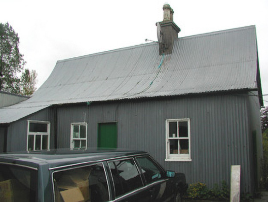 Beechmount Houseschool · 646 yd
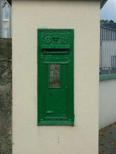 post boxpost box · 763 yd
 Mound in KilcourseyMound · 855 yd
 Enclosure in LehinchEnclosure · 958 yd
 Chapel HillForest · 1375 yd
 Clara Bog BoardwalkHeritage attraction · 2.0 mi
 Kilmalady HillMountain / peak · 2.2 mi
 Castle (in ruins)Castle, tower house · 2.8 mi
 ToberaskeenSpring · 2.8 mi
 High WoodWood · 2.9 mi
 St. Columba's WellSpring · 3.2 mi