
What is recorded here
From aerial photographs taken in 1966 (BKS 78882/1; OSO 3010094) this site appears to be of archaeological importance however from the ground this site appears to be a natural hilltop of no archaeological importance. There are no indications of any fosse or bank enclosing the mound. There is no tradition of any archaeological site on this hill which is known as Silver hill
The above description is derived from the published 'Archaeological Inventory of County Offaly' (Dublin: Stationery Office, 1997). In certain instances the entries have been revised and updated in the light of recent research.
Date of upload: 23 May 2011
The monument record does not grant public access. Check the route and ask the landowner before entering private land.
- What survives
- Recorded monument
Places near here
 Church in Kilbride (kilcoursey By.),lissaniskyChurch · 671 yd
 IndicatedChurch · 719 yd
 Termon Cross (Site of)Cross, Termon cross · 994 yd
 Kilcoursey Castle (in Ruins)Bawn · 1057 yd
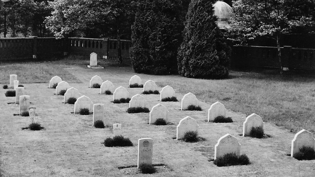 Burial ground in LehinchBurial ground · 1109 yd
 Chapel HillForest · 1272 yd
 Kilmalady HillMountain / peak · 1.8 mi
 Clara Bog BoardwalkHeritage attraction · 2.3 mi
 ToberaskeenSpring · 2.6 mi
 Gorteen CastleCastle, unclassified · 2.9 mi
 High WoodWood · 3.0 mi
 Roughan HillMountain / peak · 3.1 mi
Other information
Photo: Credit not shown in the picture search · Rights wording not checked; contact us if this picture should be removed