
What is recorded here
Kilcoosy holds a D-shaped fort twenty-six metres long, buried beneath marshy grass and a wide band of heather. The 1835 map named it in gothic lettering, but the land itself barely shows the boundary anymore. Whatever lived there stood on wet ground, exposed to weather and forgetting. The enclosure still resists measurement, giving up only its shadow and the patience of the terrain.
Indicated as an oval embanked enclosure described as a 'Fort' in gothic lettering on the 1835 ed. of the OS 6-inch map, it is situated in a low-lying area of marshy grassland and rock outcrop. Grass-covered D-shaped platform (dims 26m NNE-SSW; c. 15m WNW-ESE; H 0.3m) defined by a band of heather (Wth 4-6m).
The above description is derived from 'The Archaeological Inventory of County Leitrim' compiled by Michael J. Moore (Dublin: Stationery Office, 2003). In certain instances the entries have been revised and updated in the light of recent research.
Date of upload: 23 September 2008
The monument record does not grant public access. Check the route and ask the landowner before entering private land.
- What survives
- Recorded monument
Places near here
 Green IslandIslet · 712 yd
 Kilcoosey National Schoolschool · 1518 yd
 Enclosure in CornalaghtaEnclosure · 1.2 mi
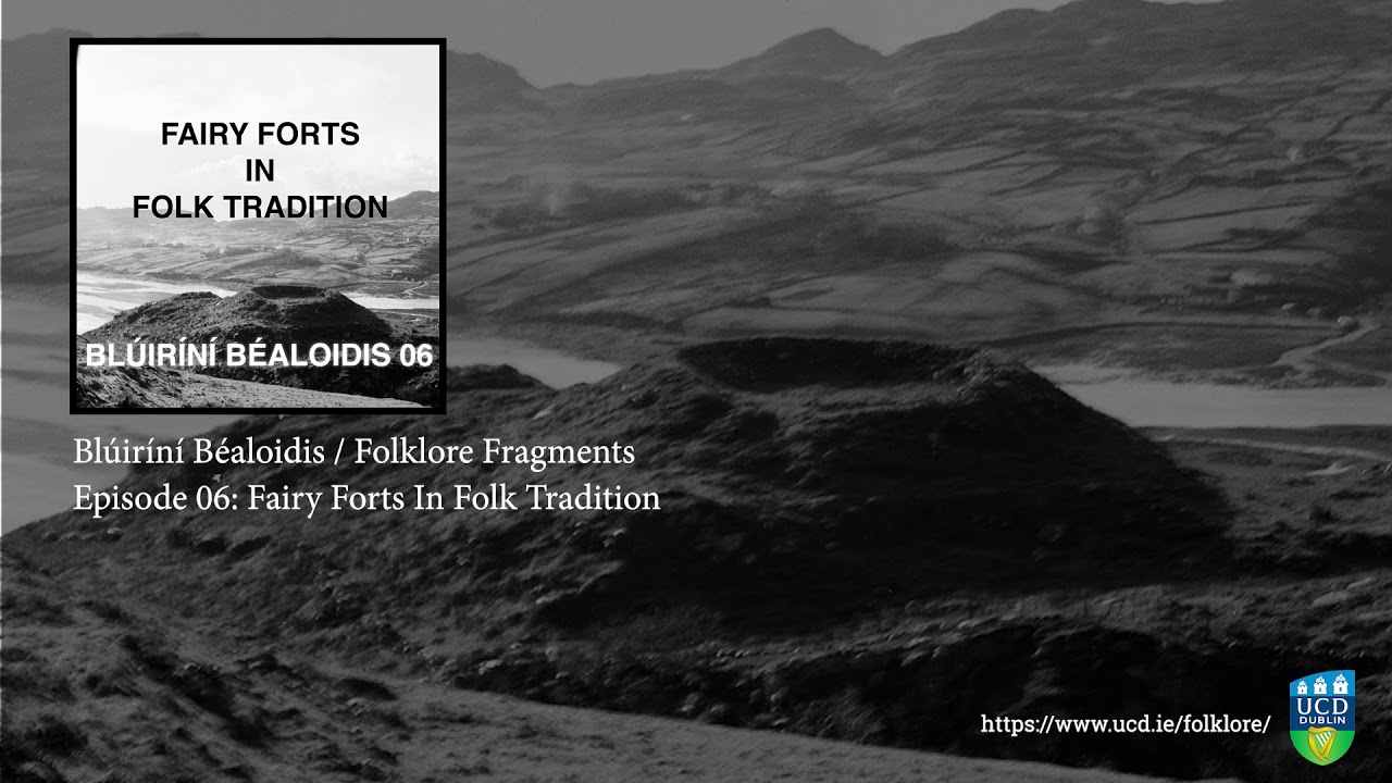 Fairy fort / earthen ringfort in SocksFairy fort / earthen ringfort · 1.4 mi
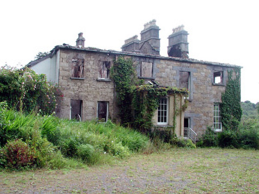 Drumlease Glebe Houserectory/glebe/vicarage/curate's house · 1.7 mi
 IndicatedBawn · 2.4 mi
 Old HallCastle, hall-house · 2.4 mi
 BenboMountain / peak · 2.6 mi
 Parke's CastleHeritage attraction · 2.9 mi
 Cullentra ForestForest · 3.2 mi
 Trawane BayBay · 3.7 mi
 InnisfreeIslet · 3.8 mi
Other information
Photo: Credit not shown in the picture search · Rights wording not checked; contact us if this picture should be removed