What is recorded here
Kilcolgan More holds two forgotten circular enclosures, one bisected by a modern field boundary and the other lying 160m southwest. They emerged only when aerial photography revealed their cropmarks in July 1989, proving that levelled earth can still betray old shapes. Kilcolgan Castle watches from 400m southeast, suggesting these were not random ditches but neighbours in a lost landscape.
Aerial photograph (GB89.AM.23) shows cropmark of a circular enclosure defined by a fosse. The levelled enclosure was first recorded as a positive cropmark in July 1989. The cropmark enclosure is bisected by a modern field boundary. The cropmark of a second levelled enclosure (OF015-496---) is located 160m to the SW. Kilcolgan Castle (OF014-011----) is located 400m to the SE. The above report has been compiled by Dr. G. F. Barrett and supplied to the Archaeological Survey of Ireland.
Compiled by Caimin O'Brien
Date of upload / revision : 10 December 2010
The monument record does not grant public access. Check the route and ask the landowner before entering private land.
- What survives
- Recorded monument
Places near here
 Enclosure in Kilcolgan MoreEnclosure · 181 yd
 Kilcolgan Castle (in Ruins), Tower (in Ruins)Bawn · 458 yd
 Cillín Burial GroundArchaeological place · 551 yd
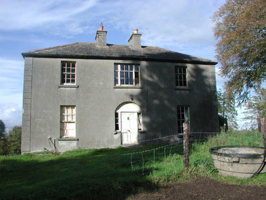 The Rectoryrectory/glebe/vicarage/curate's house · 1197 yd
 RoadRoad, class 3 togher · 1.1 mi
 Saint Reaghan's WellSpring · 1.2 mi
 CastleCastle, unclassified · 1.4 mi
 Ballylin Bog BoardwalkHeritage attraction · 1.9 mi
 European ashEuropean ash · 2.2 mi
 Cocta HillMountain / peak · 2.7 mi
 Endrim HillMountain / peak · 3.2 mi
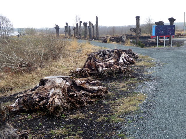 Lough Boora Sculpture ParkMuseum · 4.5 mi