What is recorded here
Situated on a natural rise on the floodplains of the river Brosna. Not visible at ground level. Scattered and confused remains of a several 19th-century buildings with Demesne wall attached to the NW corner running in a S direction. The castle masonry was probably used in the building of the demesne wall and buildings. Evidence of this can be seen on the E side of the demesne wall where a window jamb with punch dressing is embedded in the wall. This piece of masonry came from the destroyed castle and indicates a late medieval date based on the fine punch dressing. This trend of knocking down a castle and reusing its rubble is very common in the county. The exact location of the castle is uncertain however the grass covered wall footings of a building to the W of the extant house may indicate the site of the destroyed castle.
Situated on a natural rise on the floodplains of the river Brosna. Not visible at ground level. Scattered and confused remains of a several 19th-century buildings with Demesne wall attached to the NW corner running in a S direction. The castle masonry was probably used in the building of the demesne wall and buildings. Evidence of this can be seen on the E side of the demesne wall where a window jamb with punch…
From the National Monuments Service (Archaeological Survey of Ireland) record OF014-046
The monument record does not grant public access. Check the route and ask the landowner before entering private land.
- What survives
- Recorded monument
Places near here
 Church in GallenChurch · 517 ydSaint Reaghan's WellSpring · 526 yd
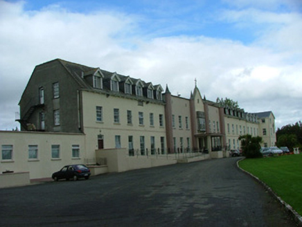 Gallen PrioryCountry house · 624 ydBallylin Bog BoardwalkHeritage attraction · 1.0 mi
 Coole CastleCastle · 1.1 mi
 Coole CastleCastle, tower house · 1.1 miEndrim HillMountain / peak · 2.7 mi
 St. Managhans WellHoly well · 3.6 mi
 European ash3.6 mi
 AbbeyHermitage · 3.8 mi
 Cloghan HillMountain / peak · 3.8 mi
 Lough Boora Sculpture ParkMuseum · 4.8 mi
Pictures: Andreas F. Borchert, Wikimedia Commons · CC BY-SA 4.0; National Inventory of Architectural Heritage; ., Wikimedia Commons · CC BY-SA 4.0; A.-K. D., Wikimedia Commons · CC BY-SA 4.0; Willow, Wikimedia Commons · CC BY 2.5; Eric Jones, Geograph · CC BY-SA 2.0; Oliver Dixon, Wikimedia Commons · CC BY-SA 2.0
More castles and forts in County Offaly · All of County Offaly
What do you know about this place?