What is recorded here
Situated on a slight NE-facing slope. The cropmark of a sub-triangular rath (WX011-047001-) is visible on aerial photographs (MM (52) 24-26). A rectangular annexe (dims. c. 15m by c. 15m) is attached to the perimiter at W.
Compiled by: Michael Moore
Date of upload: 12 April, 2012
The monument record does not grant public access. Check the route and ask the landowner before entering private land.
- What survives
- Recorded monument
Places near here
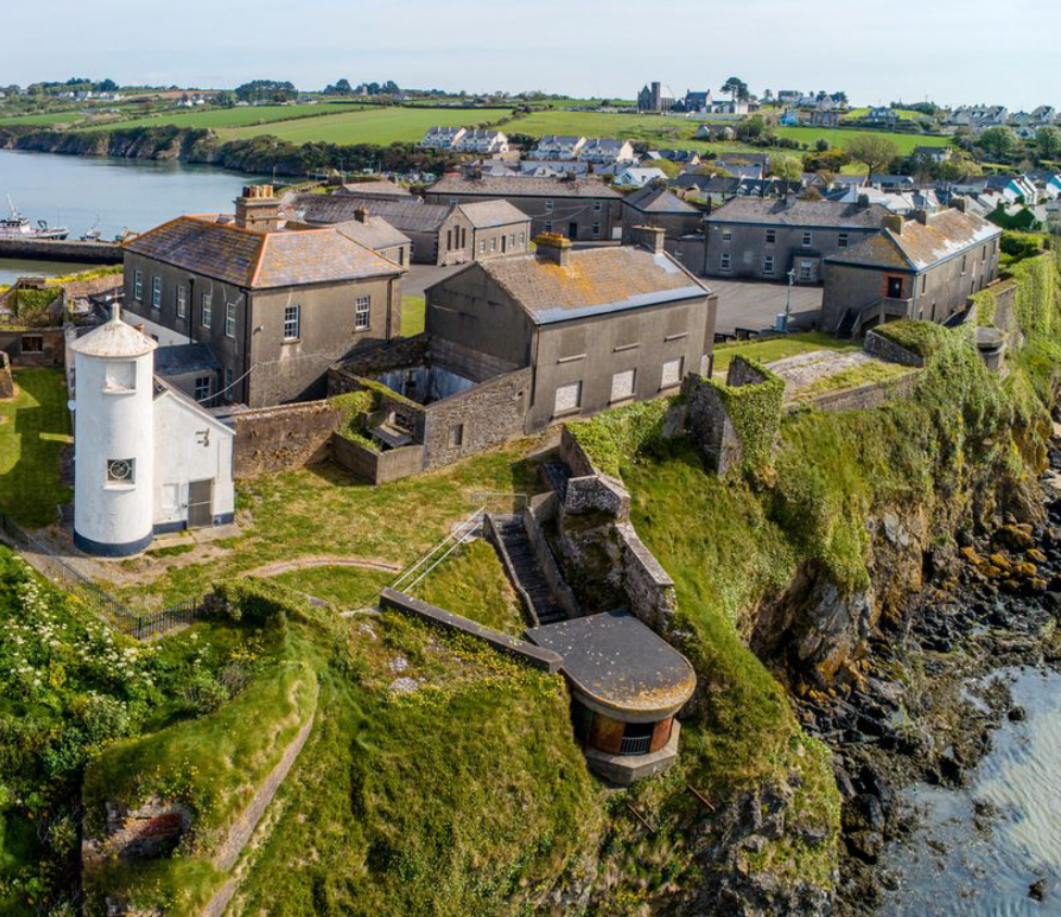 Enclosure in BolinaspickEnclosure · 671 yd
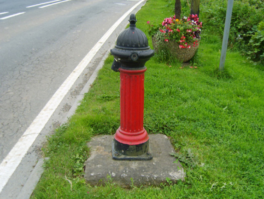 water pumpwater pump · 1177 yd
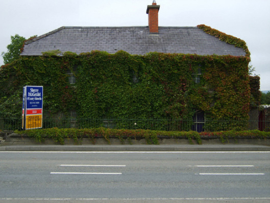 The Rookeryhouse · 1210 yd
 Enclosure in KilboraEnclosure · 1526 yd
 Camolin WoodForest · 1.1 mi
 Milshoge RockMountain / peak · 1.6 mi
 Kilbora WoodForest · 1.7 mi
 Giants BedNamed rock · 3.0 mi
 Ferns Castle (in ruins)Castle, Anglo-Norman masonry castle · 3.0 mi
 SlieveboyMountain / peak · 3.2 mi
 CastleCastle, unclassified · 4.0 mi
 Blue SchoolMemorial · 4.1 mi