
What is recorded here
Marked on the 3rd edition of the OS 6-inch maps an arc of stone wall incorporating near its E end a large erratic boulder. The chord of the arc would measure 30m. The wall consists of a double line of closely set stones, flush against one another. The wall is from .7m to 1.1m in width. The site is located ENE of Sheskin More Lough, in an area of rough grazing with some blanket bog and rock outcrop.
The above description was derived from the 'Archaeological Survey of County Donegal. A description of the field antiquities of the County from the Mesolithic Period to the 17th century.' Compiled by: Brian Lacey with Eamon Cody, Claire Cotter, Judy Cuppage, Noel Dunne, Vincent Hurley, Celie O'Rahilly, Paul Walsh and Seán Ó Nualláin (Lifford: Donegal County Council, 1983). In certain instances the entries have been revised and updated.
Date of upload: 22 September 2008
The monument record does not grant public access. Check the route and ask the landowner before entering private land.
- What survives
- Recorded monument
Places near here
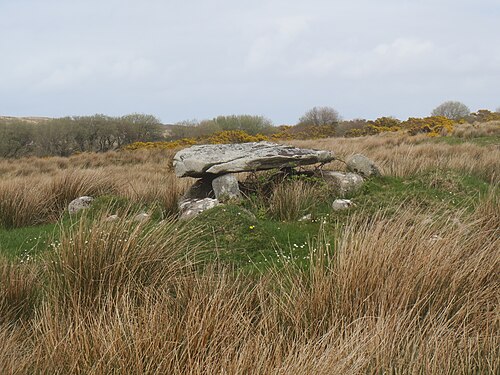 Kilclooney More Portal TombPortal tomb · 429 yd
 Kilclooney More Court TombCourt tomb · 530 yd
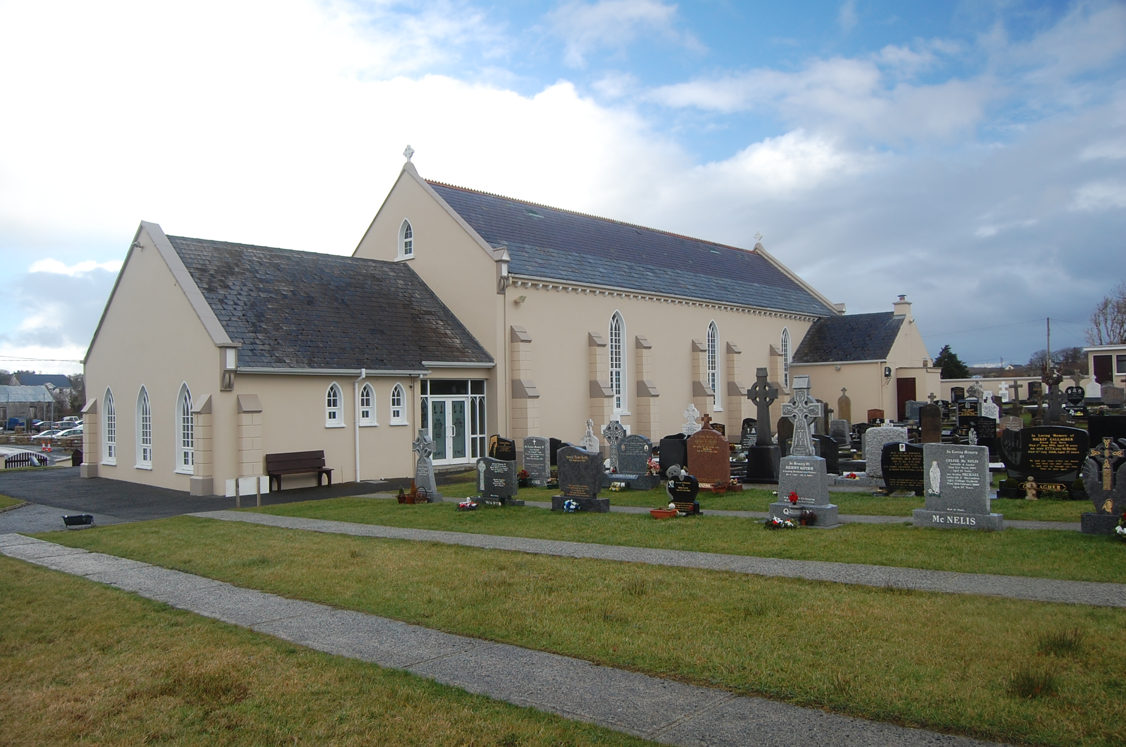 Saint Conal's Catholic Churchchurch/chapel · 1056 yd
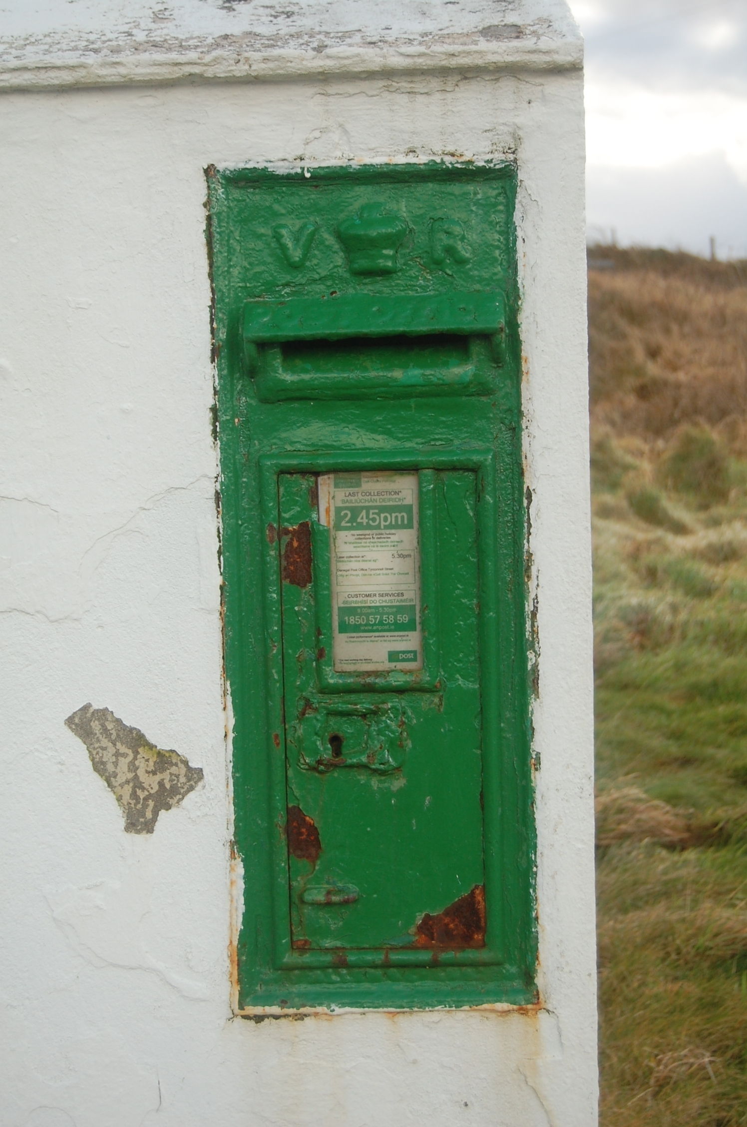 post boxpost box · 1109 yd
 Doon FortFairy fort / stone ringfort · 1.1 mi
 Narin–Portnoo StrandOfficial bathing water · 1.7 mi
 CastleRuins · 1.9 mi
 Bawn in KiltoorisBawn · 1.9 mi
 Carrickalahagh HeadlandPublicly named cliff or headland · 2.0 mi
 Bonny Glen WoodForest recreation place · 2.1 mi
 Bonny Glen Wood - Bonny Glen walkOfficial walking route · 2.1 mi
 Tramore StrandBeach / strand · 2.2 mi
Other information
Photo: Credit not shown in the picture search · Rights wording not checked; contact us if this picture should be removed