What is recorded here
Kilcarrig in County Carlow held a circular enclosure nearly forty metres across, large enough for a small household or a defensive refuge. It has no visible remains today, but a ringfort buried under grass and forgotten years would explain its shape. People may have lived there, watched the field, or fled into it when danger came. The land kept the circle long after the people stopped naming it.
The following description is derived from the published 'Archaeological Inventory of County Carlow' (Dublin: Stationery Office, 1993). In certain instances the entries have been revised and updated in the light of recent research.
Date of upload/revision: 17 July 2007
Shown on 1938-9 'OS 6-inch' map as circular enclosure (max. diam. c. 40m). No visible surface traces. Possibly a ringfort incorporating large quantity of stone in bank.
The monument record does not grant public access. Check the route and ask the landowner before entering private land.
- What survives
- Recorded monument
Places near here
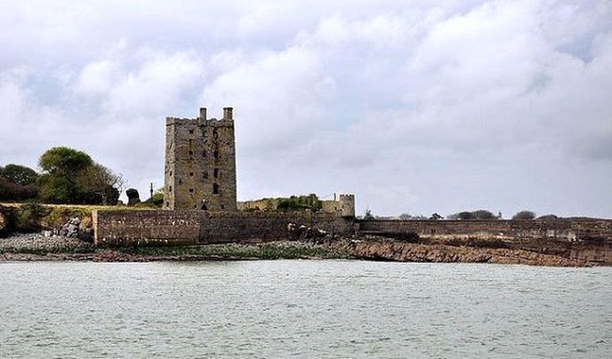 Enclosure in KilcarrigEnclosure · 296 yd
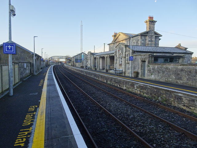 Bagenalstown Railway Stationfoot bridge · 691 yd
 Enclosure in KilreeEnclosure · 886 yd
 Saint Andrew's Catholic Churchchurch/chapel · 1107 yd
 Wych ElmWych Elm · 1148 yd
 The Columban WayVisitor information · 1239 yd
 Lock Keeper's House and Lodge MillsVisitor information · 1.0 mi
 Sweet ChestnutSweet Chestnut · 1.3 mi
 CastleCastle, motte · 1.4 mi
 Dunleckny Ho.Castle, unclassified · 1.4 mi
 Church (in ruins), GraveyardChurch · 1.8 mi
 Church, GraveyardChurch · 3.0 mi