What is recorded here
In tillage. Depicted as hachured circular enclosure (diam. c. 12m) on 1842 OS 6-inch map. Levelled; according to local information, circular enclosure visible when field ploughed.
The above description is derived from the published 'Archaeological Inventory of County Cork. Volume 4: North Cork' (Dublin: Stationery Office, 2000). In certain instances the entries have been revised and updated in the light of recent research.
Date of upload/revision: 14 January 2009
The monument record does not grant public access. Check the route and ask the landowner before entering private land.
- What survives
- Recorded monument
Places near here
 Kilcanway Bridgebridge · 358 yd
 Carrig Viaductviaduct · 523 yd
 Kilcanway WellHoly well · 1001 yd
 Carrig Castle (in Ruins)Castle, tower house · 1036 yd
 Enclosure in KilluraghEnclosure · 1192 yd
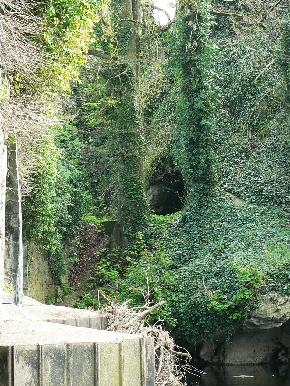 Killavullen CavesCave · 1.9 mi
 Cave in BallymacmoyCave · 1.9 mi
 Monanimy CastleCastle, tower house · 2.0 mi
 Killavuleen LOOPVisitor information · 2.2 mi
 Anne's Grove GardensHeritage attraction · 4.6 mi
 In loving memory of Elvis O'DonoghueMemorial · 4.6 mi
 Mallow River TrailVisitor information · 4.6 mi